Over the long Labor Day weekend, my fiancée Lily and my friend Seth and I took a three-day backpacking trip in the Dolly Sods Wilderness area of West Virginia: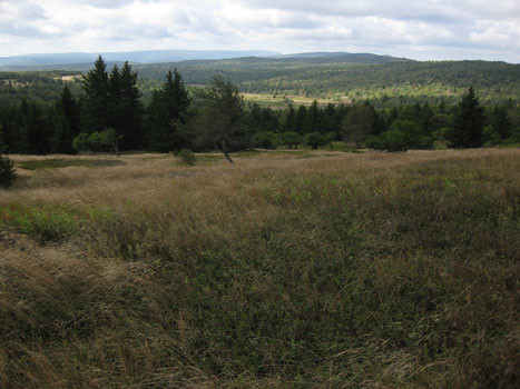
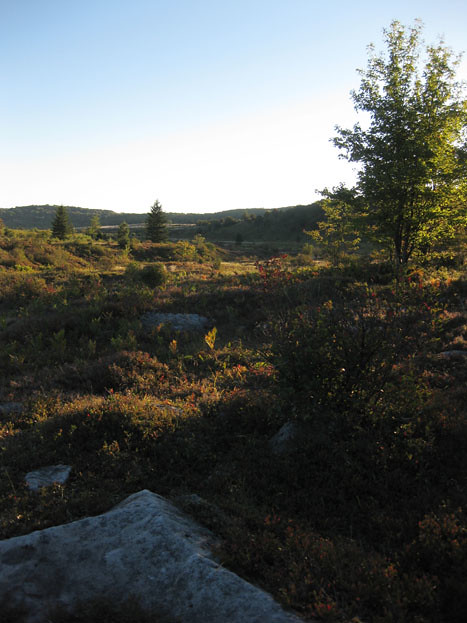
Dolly Sods is a unique place, a little patch of flora that is more typical of Canada. It sits atop the eastern Continental Divide, and most of the area drains to the Gulf of Mexico via the Ohio River. Parts of Dolly Sods are sparsely treed, and resemble Arctic tundra. It is the easternmost bit of the Appalachian Plateaus province. Many places reminded me of Alaska: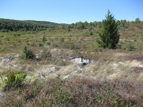
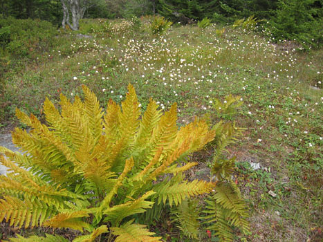
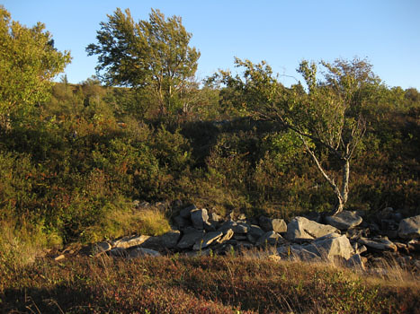
Rolling meadows and bogs occur in patches, interspersed with forest of spruce, hemlock, and aspen (yes, aspen!):
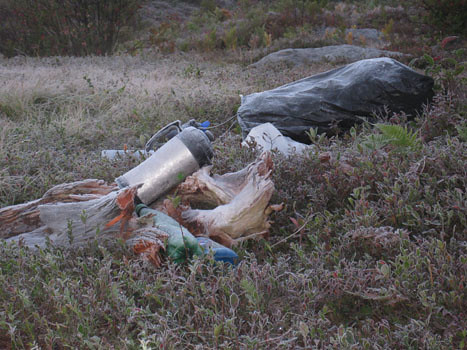
The area was used as a proving ground during World War II, and there are still some dangerous bits and pieces left over from that time:

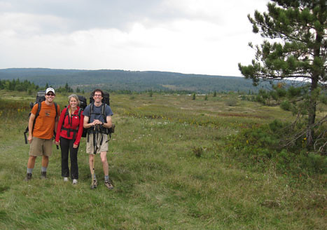
Here’s our happy trio, ready to set off on Friday afternoon:
Very quickly, I clued into the wealth of small blueberries which were omnipresent in the “tundra” landscapes. I snacked on these continuously throughout the weekend: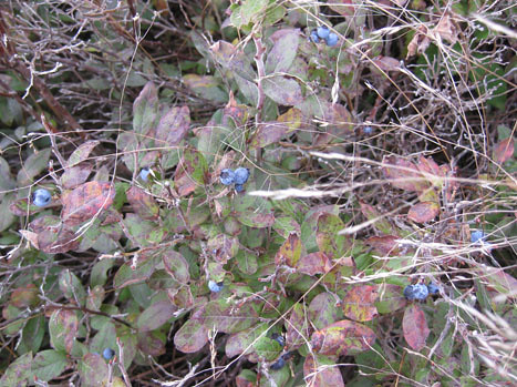
A glimpse of two forms of power generation off to the north: Mount Storm on the left (a coal-fired electric generation plant) and a field of windmills on the right: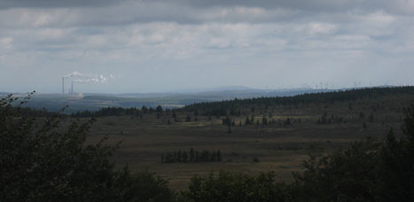
Here and there, outcrops of white rock rose up above the lichens and shrubs: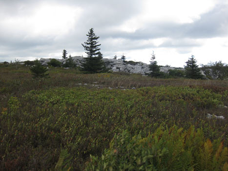
This is the Pennsylvanian-aged quartz sandstone of the Conemaugh Group. Occasionally, it outcrops as bedrock, and other times, you just get these clean boulder fields, surrounded by tundra vegetation: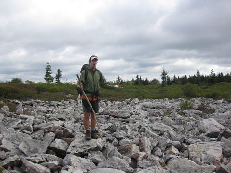
So what do we see when we zoom in on these outcrops and boulder fields? Well, mostly, we see quartz sandstone:
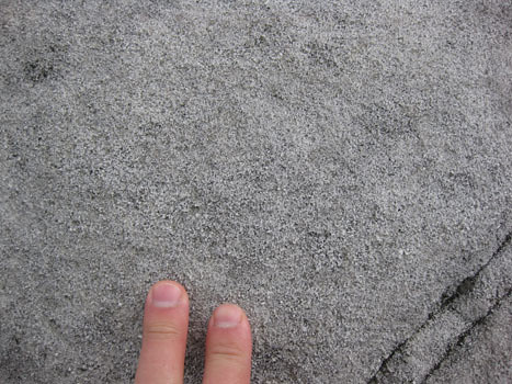
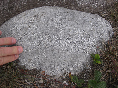
…Although there is a regular smattering of quartz-pebble conglomerate, too:

Occasionally, primary structures jump out at the eye, like some graded bedding…
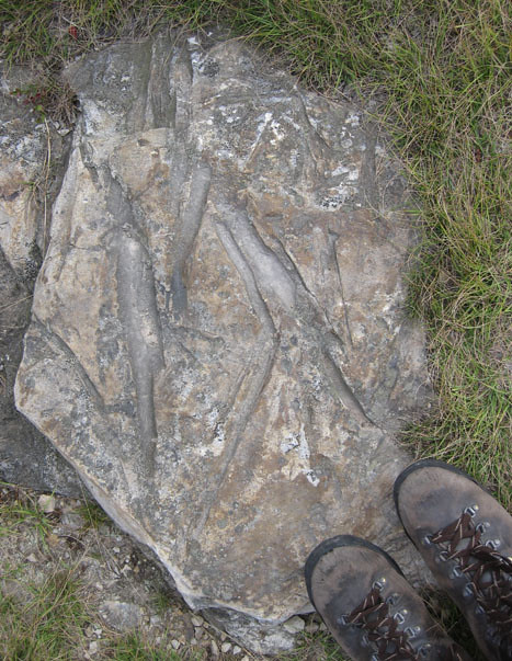
There were even some fossils, like these plant scraps:
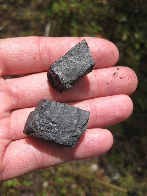
Plant scraps compressed en masse make coal, and there are coal interbeds to be found in places in Dolly Sods, and bituminous coal can also be found as float, as with these chunks:
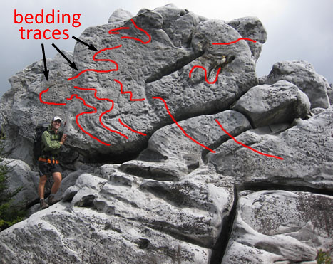
There was even some structure to observe!
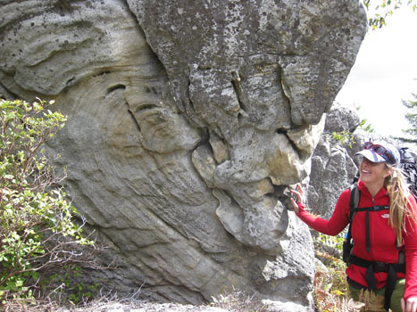
A bigger outcrop, right around the bend, showed even more pervasive distortion of the sedimentary layers:
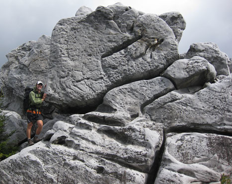
What’s going on with these folds? After all, the Allegheny Plateau isn’t known for pervasive structural shenanigans… I’m guessing this might be soft-sediment deformation: slumping and sliding of sedimentary layers before they got lithified… Any other thoughts? (chime in via the comments section below, if so).
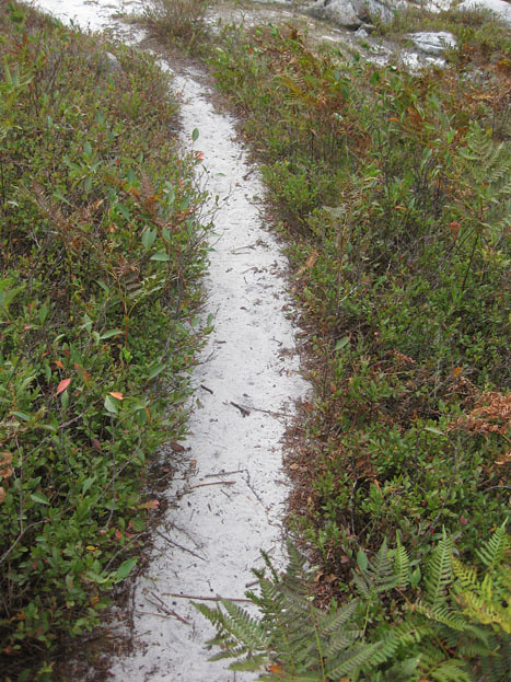
Here is sand weathering out of the sandstone, the grains free and loose again for the first time in ~300 million years:
Here’s the view at sunset from our third campsite: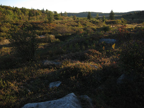
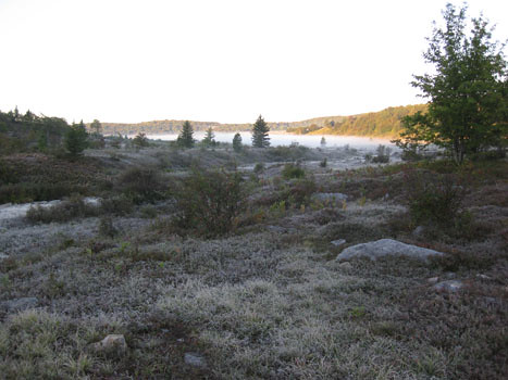
Yesterday (Monday) morning, when we woke, we found that the temperature had dropped below freezing overnight, and a coarse layer of frost covered everything:
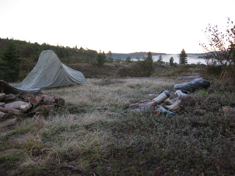
Detail of the frost crystals on my tent’s rain fly: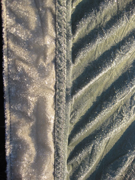
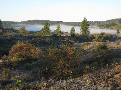
The sun rose, and starting melting off the frost and dissipating the fog:
In the warmth of the new day, we hiked out, got apple dumplings at the Front Porch Restaurant across from Seneca Rocks, and drove back home along good old (new) Route 55. It was a great weekend away, just the right distance, in wild country, with great weather. I felt rejuvenated by the experience.


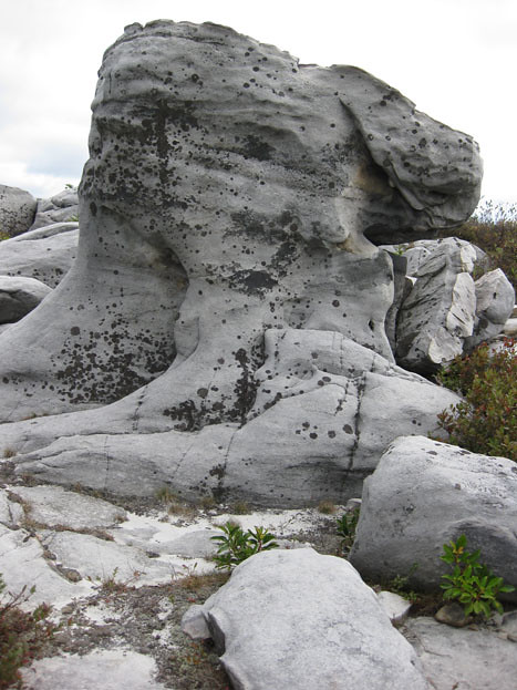
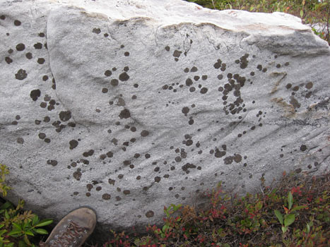
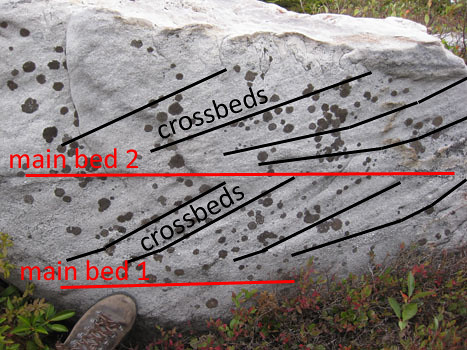

“Occasionally, it outcrops as bedrock …”
As a not so young geology student in the late 70’s I was taught that the formation may be seen in an outcrop (noun) but that rock does not outcrop (verb). Correct usage then (confirmed by 1984 edition of AGI Dictionary of Geological Terms) would be to say that the rock crops out on that hillside. Have times and usage changed?
Nope. I’m just being colloquial, and sloppy.
Everytime I see pictures of Dolly Sods I want to go there again. A couple hour stop in college was only enough to whet my appetite. I’m curious about the boulder fields. There was a poster at NE/SE GSA with a boulder field in the middle of flat forest in Pennsylvania that was attributed to rock glacier movement around the time of the continental deglaciation. Is that a possibility in Dolly Sods, do you think?
Yes, I think that there were at least some peri-glacial processes going on here. There were definitely some areas that suggested “patterned ground” — though decorated with plants, it wasn’t unambiguous to my untrained eye.
I randomly stopped at the Front Porch and Harper’s Store while driving between Spruce Knob and Hoye Crest. A fortuitous stop on an unplanned route.
I randomly stopped at the Front Porch and Harper’s Store while driving between Spruce Knob and Hoye Crest. A fortuitous stop on an unplanned route.