Here’s your Friday fold, straight from the canyon of the Jefferson River, near Cardwell, Montana. Perspective is to the south. East is on the left; west is on the right.
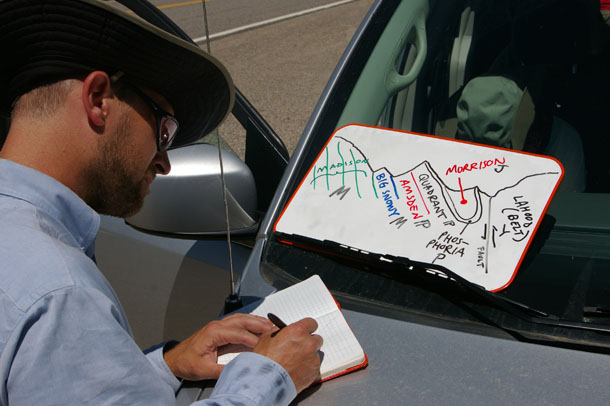
This is right next to the outcrops of LaHood Conglomerate that I mentioned earlier this week. My Rockies course co-instructor Pete Berquist and I bring the students here for several reasons, including the conglomerate, nearby Lewis & Clark Caverns State Park, and the great view to the south of folded Paleozoic and Mesozoic strata. We sketch the scene together, as seen here…

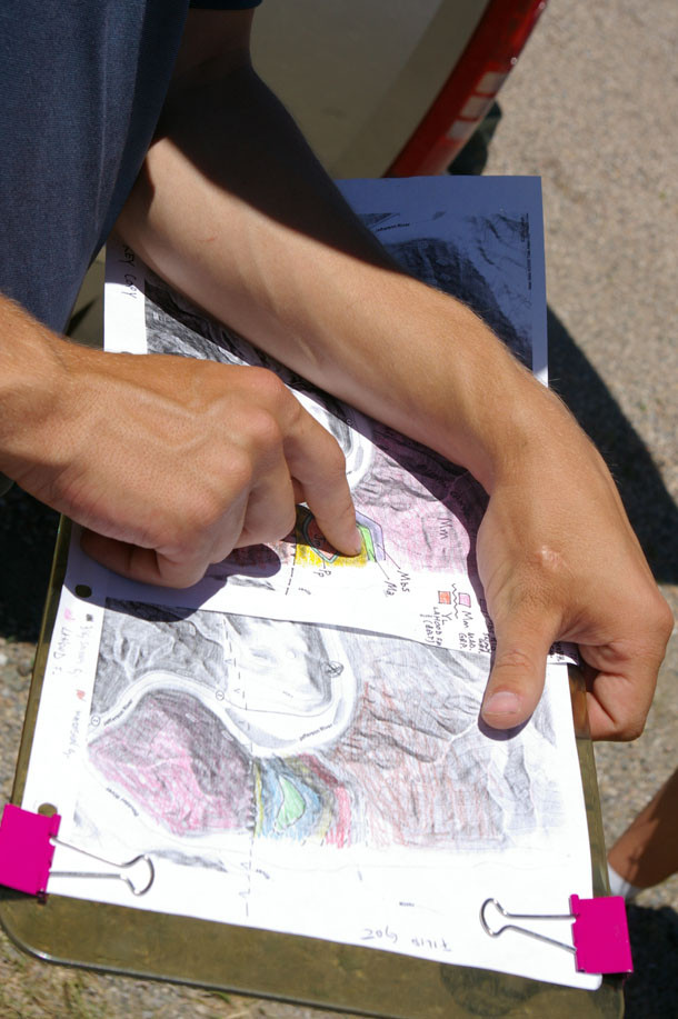
…And then the students are given a topographic map to mentally match up with the lateral view and the schematic sketch on the whiteboard. They are tasked with sketching their interpretation of the geology onto the map. This interpretation serves as the construction of a hypothesis, which could then be field-checked in person.

For our purposes on this day, the second “real” day in the field for the course, it’s enough to have the students make the mental conversion between “landscape as viewed from ground level” and the topo map’s “bird’s eye” perspective, along with attendant perspectives on rock deformation, stratigraphy, and differential weathering. They will engage in “real” mapping later.
Anyhow, here’s an annotated view of the scene:
Most of the view is taken up by a large overturned syncline, with an axial plane that dips steeply to the west. At the far left are the Mississippian-aged Madison Group limestones, topped with upper Mississippian Big Snowy Group (more limestones), then the Amsden Formation (orange siltstone and sandstone from the Pennsylvanian), the Quadrant Formation (a Pennsylvanian quartz sandstone), the Permian phosphatic Phosphoria Phormation :), and and youngest of all, the Morrison Formation, which is Jurassic. In the area of the Jefferson River Canyon, the strata are tightly folded around the Morrison. Finally, at the far right of the view, we see the abrupt appearance of the LaHood Conglomerate, part of the Mesoproterozoic Belt Supergroup. The contact here is a thrust fault.
The skyline is etched out according to the different susceptibilities to weathering of the exposed strata. The LaHood and Madison exposures are relatively sturdy fare in this arid climate, and we see that the Amsden and Morrison are relatively weak. The Phosphoria and top of the Big Snowy hold up the “peaklets” on the ridge, which make for convenient landmarks on the topographic map.
I miss Montana. I’m looking forward to spending some time out there this summer, and introducing a new crop of students to scenes like this one under the big sky.
Happy Friday!


Crazy! i mapped this last summer as well!!
It’s a classic location — pretty darn clear what’s going on.
I mapped this area with Indiana University’s Field Camp in 2008. Our field station was located not far from there in the Tobacco Root Mountains. Thanks for bringing back such fond memories! 🙂
Did you map the “J?”
Me? Or Allison? Or Joe?
I didn’t… are you referring to Block Mountain? What’s the “J”?
Somebody enlighten me… 🙂
The J-fold is right in the area you visited. My shots from 1982 are all on Kodachrome slides, but Mike Fitzpatrick puts his field notes from Indiana University’s Field Station on Flickr. I think you’ll recognize the cross section at the bottom.
http://www.flickr.com/photos/piedmont_fossil/173380326/in/photostream/