Sunday was our first full day in the field. Here’s a few looks at my NOVA students doing geology out in eastern California. We spent the day on, and next to, the Volcanic Tableland north of Bishop, a massive stack of ash fall and ignimbrite deposits erupted from Long Valley Caldera 760,000 years ago: the Bishop Tuff.
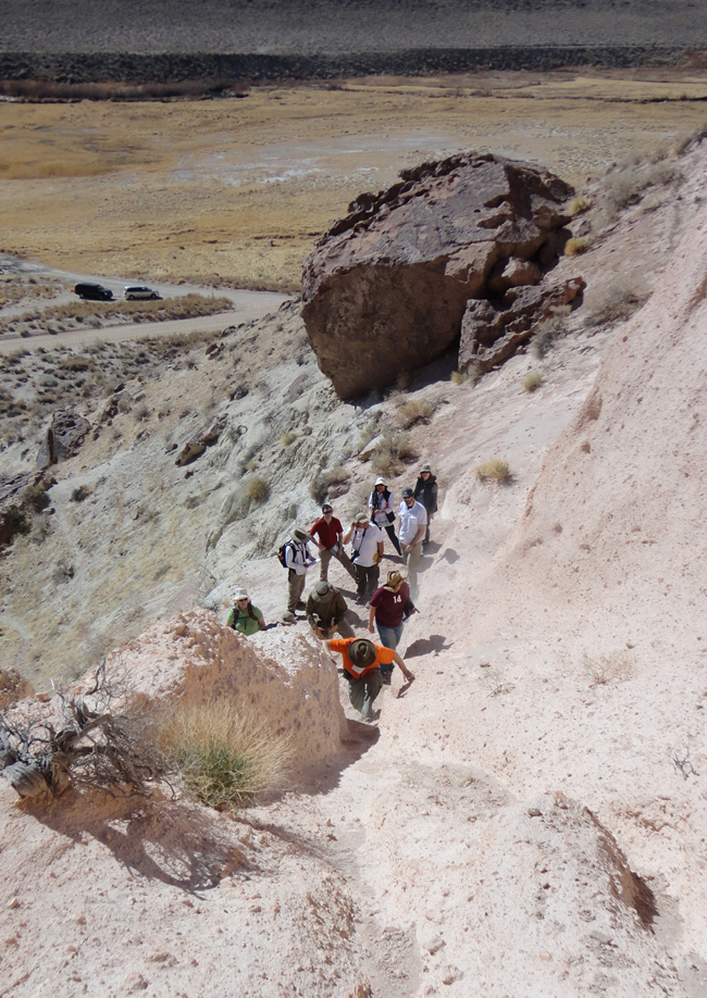
Climbing the southern edge of the Volcanic Tableland from the erosional valley of the Owens River:
Looking at the base of the eruptive stratigraphy: initial ash fall deposits overlying lake sediments:
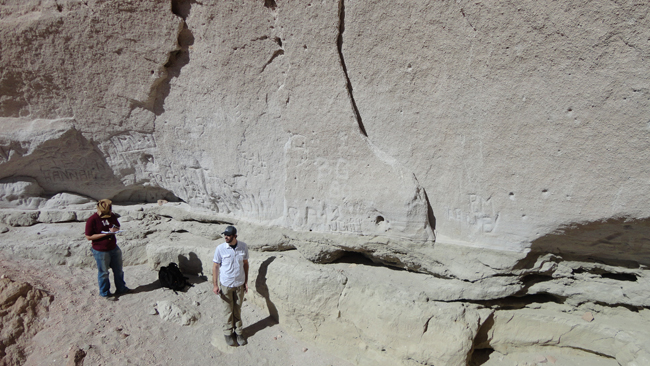
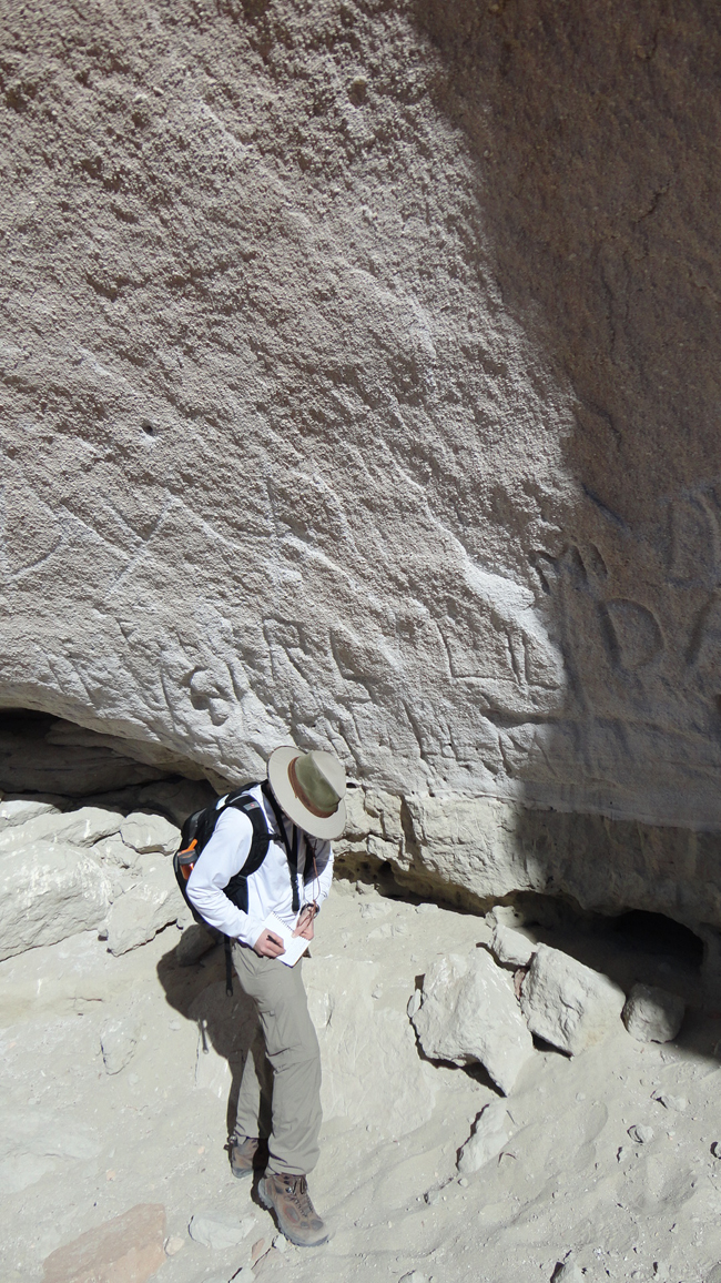
Students examining fluvially-deposited volcaniclastic sediments that underlie the Bishop Tuff:
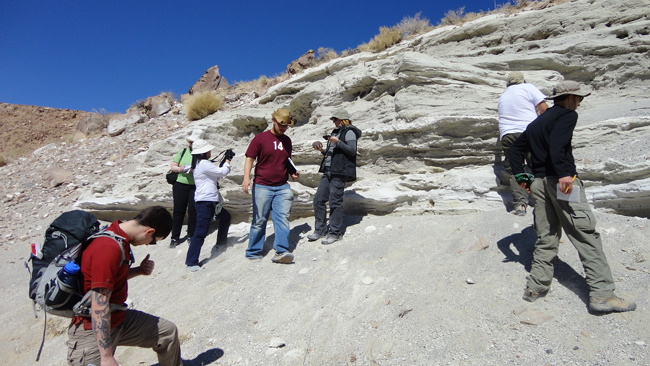
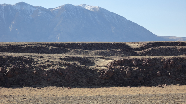
We spent the afternoon on top of the Tableland, checking out the many, many fault scarps well exposed there. Here’s one student taking field notes of this extraordinary scene:
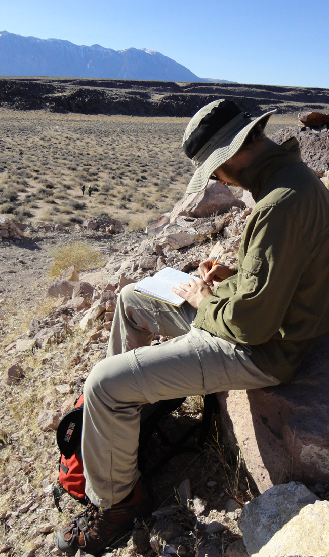
In the background, you can see a dismembered Pleistocene drainage channel incised into the top of the ignimbrite layer (called “Ig2”) that forms the erosion-resistant cap to the Volcanic Tableland.
During the day, I also uploaded some relatively low-resolution photos from my iPhone to Twitter, and if you’re interested, you can check those out: branch as debris dam, tafoni weathering of Bishop Tuff, NOVA students overlooking Owens River Gorge, meanders of the Owens River south of the Tableland, and Native American pictographs etched into desert-varnished Bishop Tuff.
It was a great day in the field, and we all went to bed tired as a result of the day’s exertions, bright sun, and boffo geological sights.

These photos are making me yearn for eastern California. Oh how I miss it.
Live in LA and go up there several times a year. Sierras, Whites, Inyos, Death Valley, etc., etc. Great times. First really learned the geology of the area from Prof Nelson of UCLA in the 70s, who compiled the USGS map for the Whites, http://www.wmrs.edu/resources/geosci_ref/white-inyo_geo_map/WhiteMtn%20Map%20v2b.jpg