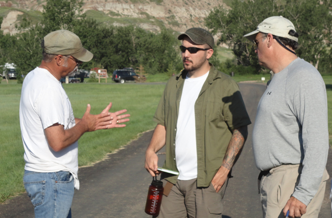
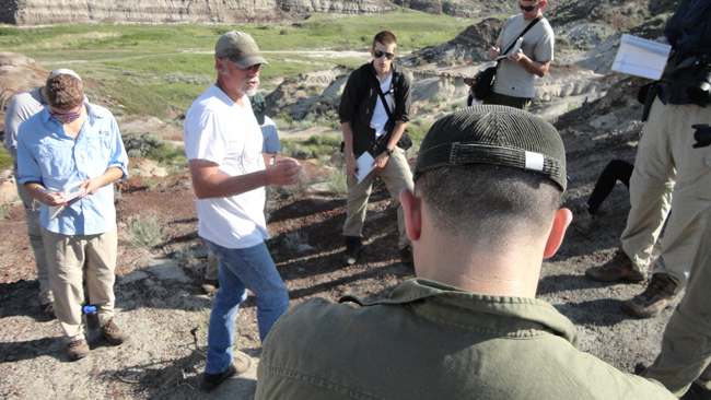
On my Canadian Rockies field course last month, we arrived in the late evening, and then drove until about 1am to get to a campsite where we found a wedding and two non-wedding parties in full swing. And the mosquitoes had a party on our faces. It was tough to get to sleep. The next morning, we rose and shone, and were treated to several hours field-based discussion with Dave Eberth, a geologist at the Royal Tyrrell Museum in Drumheller, who graciously took time out of his Sunday morning farm chores (he raises wheat and canola in addition to his paleoecologist duties at the museum) to show us around Morrin Bridge Recereation Area’s lovely exposures of the Horseshoe Canyon Formation.
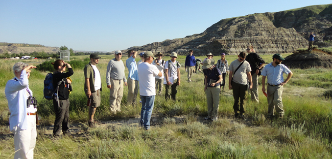
The more-or-less horizontal strata you can see in the background are the Horseshoe Canyon Formation: clastic sedimentary rock shed off the rising Rockies to the west, and deposited at the margin of the Western Interior Seaway.
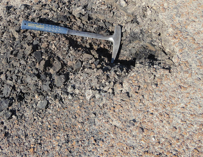
Coal layers indicate a terrestrial environment of deposition for most of the Horseshoe Canyon Formation:
The formation is full of petrified wood and dinosaur bones:
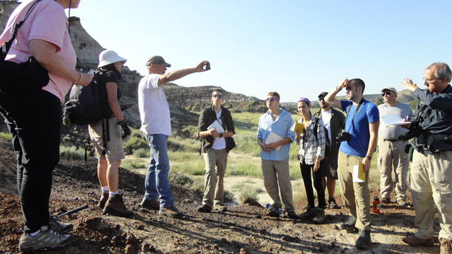
Dave discussed the way that he and his colleagues have sorted out issues of extirpation and extinction here in the upper Cretaceous sedimentary stack.
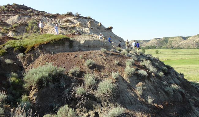
Diagenetic concretions resist weathering better than the less lithified sandstone they are set in (little knobs and bumps on the hillside):

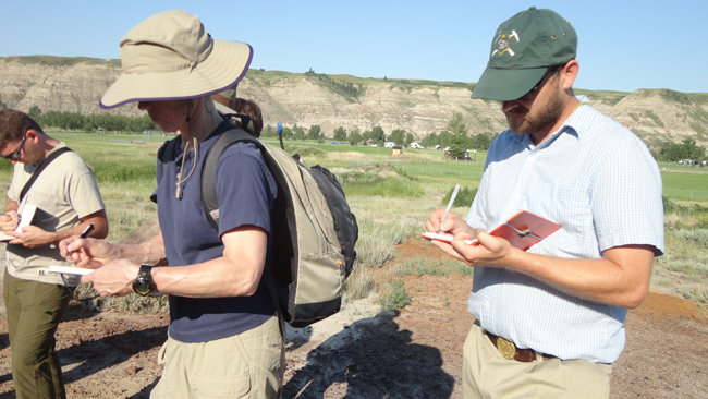
I’m so grateful to Dr. Eberth for taking time to speak with our group – Having a local expert to show you around a place is a dozen times more efficient for information transfer than it would be for me to research the literature and then bring students to a place I’d never been before and then stumble around looking for a the “right” outcrops to teach from. Having Dave there made things much easier, and started our trip off on the right foot. Several of the students gave me feedback that this was one of the most informative and interesting lessons from the whole trip!
