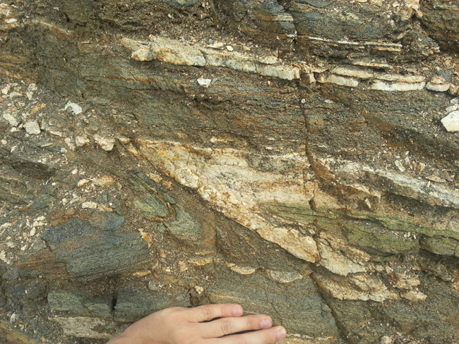
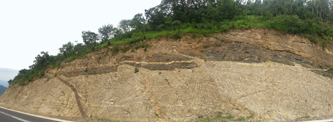
Another treat today from our foreign correspondent with the awesome name, Martin Bentley. From the southern margin of the Kaapvaal Craton, Mr. Bentley records the folded high-grade metamorphic rocks with his camera, and is good enough to share the resulting images with you…
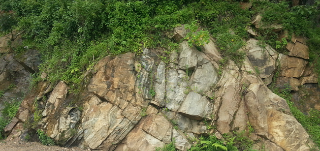
Today’s images come from a roadcut in the Natal Structural and Metamorphic Province.
Martin says:
These can be found directly alongside the road between the towns of Middledrift and Kranskop. The GPS coördinates are approximately 28°55’9.47″S; 30°58’59.02″E. I am not certain on the exact lithologies involved, but looking at our geological maps, that areas appears to be mapped as interfingered outcrops of the Wosi and Dondwana Formations of the Tugela Group, which are part of the Madleni Nappe of the Natal Structural and Metamorphic Province.
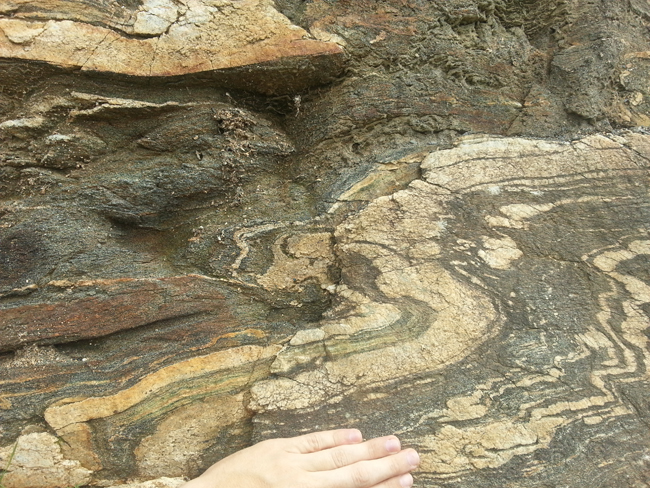
According to my available sources: The Dondwana Gneiss Formation consists of biotite-feldspar and hornblende-biotite gneiss. Migmatitic banding is common. The Wosi Amphibolite Formation consists of hornblende-rich amphibolite. Minor quantities of diopside, garnet and epidote are present. The greenish colour in some of the rocks I photographed appears to be epidote, so I suspect that the exposure is of Wosi Formation.
Have a look for yourself:
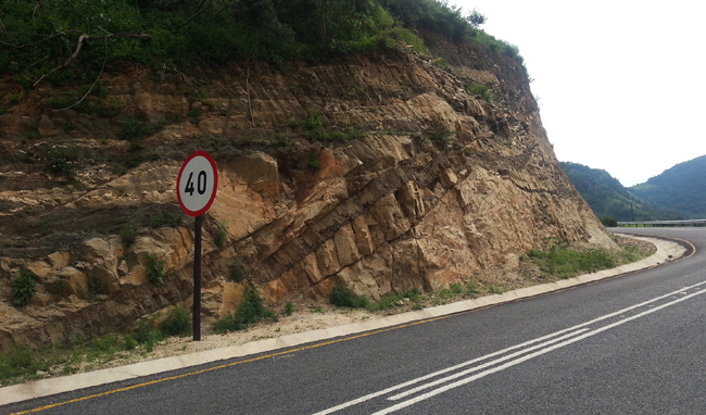
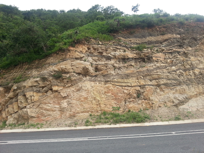
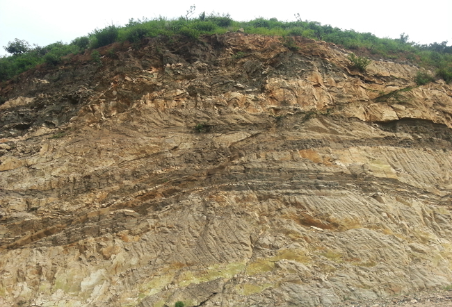
At the base of this outcrop, you can see some pale green. Those are the epidote veins Martin alluded to:
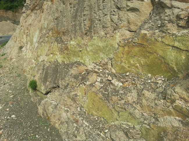
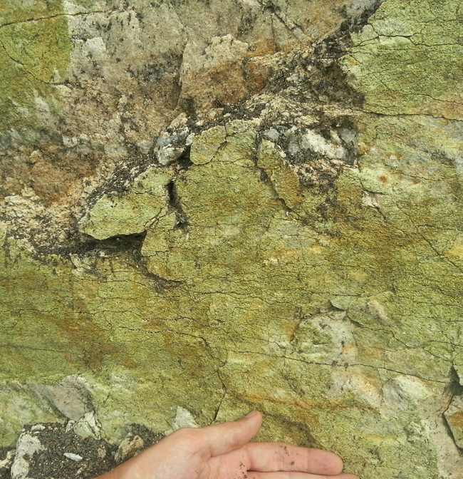
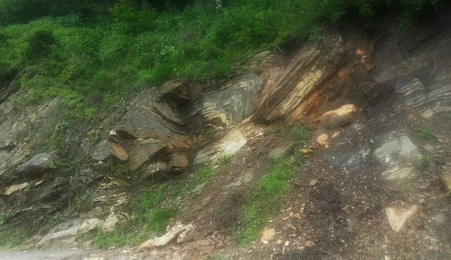
Let’s look down the road a ways…
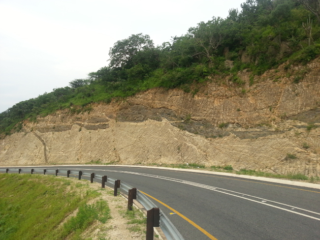
Same road cut in a panorama stitched shot; photographer’s perspective is now less oblique and more orthogonal to outcrop surface:
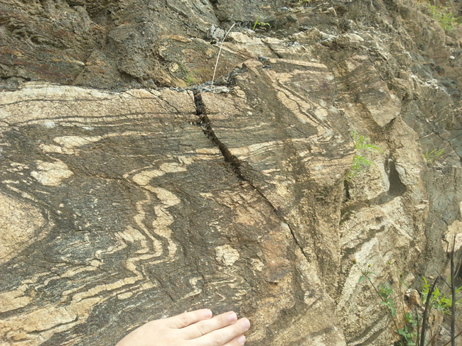
Okay, now for the moment you’ve all been waiting for… the FOLDS!
