The initials ABE might make you think of Lincoln, but that’s not what I’m talking about. Today, the letters mean something else: three subdivisions of the 5-part Bouma sequence of turbidites.
I took these photos on a new (to me) outcrop of the Ordovician-aged Martinsburg Formation in Page County, Virginia. I visited the site for the first time last Thursday with GMU structural geologist John Singleton. We had been checking out the lovely fold / cleavage relationships at Bixler’s Ferry, when a local lady drove by and said “the really good stuff is down the road a mile.” So we thanked her and went off in search of it. Indeed, there was some great stuff there. The lighting wasn’t ideal for GigaPanning, but I’ll be going back to capture some of the details. We saw giant pencil cleavage there, as I posted last Friday, and we also saw some lovely turbidites. Turbidite structure was described by Arnold Bouma, who identified an ideal series of 5 layers that may occur in various combinations, depending where on the deep sea fan the turbidity current deposited that particular batch of sediments.
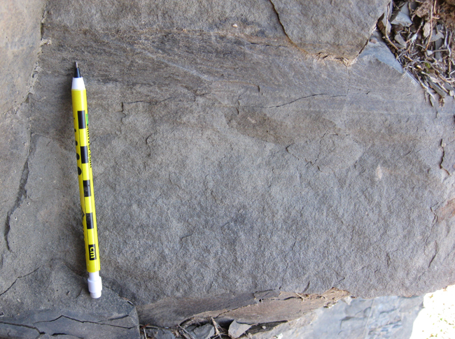
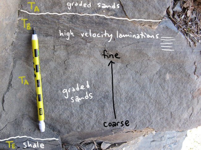
Here’s one nice example, showing a turbidite bed with TA and TB subunits, overlying an TE layer, and overlain by another TA:
Annotated:
Zooming in for a closer look:
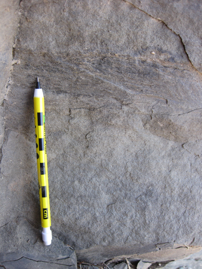
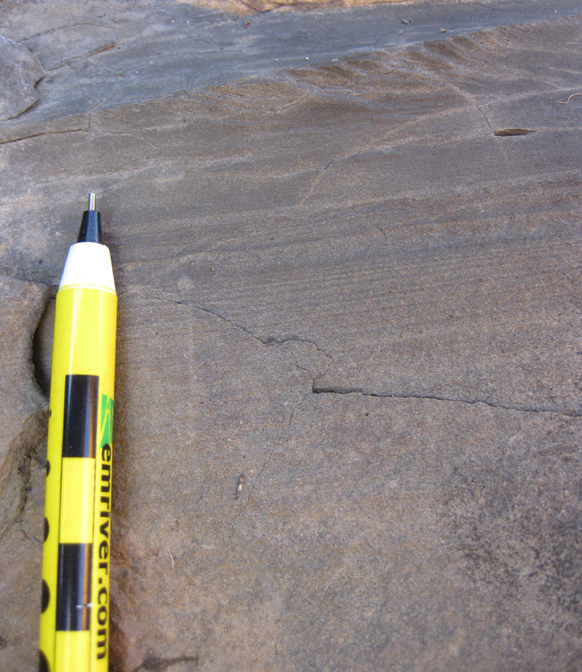
Sedimentologists, particularly those of you who study turbidites, please correct me if I’m misidentifying these. Here is another example, from a few beds up-section (to the west), zooming in on the TB planar-laminated sands, here again overlying TA graded sands, but this time overlain by TD laminated silts. There might even be a little TC (cross-bedding) in there, though it’s not very pronounced.
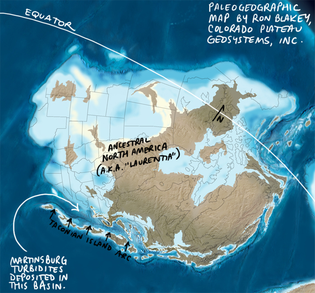
These strata were deposited in the Appalachian Basin during the late Ordovician Taconian Orogeny, which involved the accretion of a volcanic island arc (the Chopawamsic Terrane) to the Piedmont province of Virginia. That raised a belt of ancient mountains – the Taconian Mountains (not the Taconic Mountains, which are far smaller in extent, and modern in age) – which shed sediments into the low-lying basin to their west*.
* Well, today it’s to the west-northwest of the Taconian mountain belt, but in the Ordovician, the North American continent was in a different position, so the accretion took place in the southwest, and the deep basin receiving the Martinsburg turbidites was to the northeast of the mountains. North America has rotated counter-clockwise since those days. Here’s a paleogeographic map (produced by Ron Blakey and modified by me), to give you a better sense of it:

