Two years ago, I took a trip to the Phoebe Hall Knipling Outdoor Lab, which is Arlington, Virginia’s outdoor education facility in the Pond Mountains (southern continuation of the Bull Run Mountains), on the eastern edge of the Blue Ridge geologic province. I was invited back last week to look at some new exposures. I brought the GigaPan along.
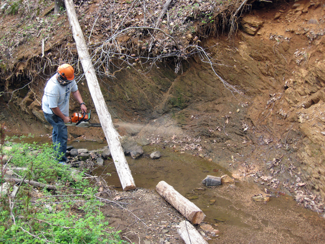
There had been additional erosion on the saprolitic exposure of Harpers Formation in the creekbed, so we set about documenting that. Here, Outdoor Lab nature guru Anthony helps me clear the scene for an unobstructed view of the rocks:
Here’s what we saw – lovely kinky little crenulated folds in the slate/schist.
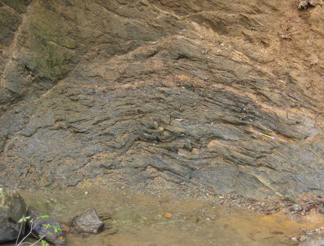
Explore the whole outcrop for yourself here:
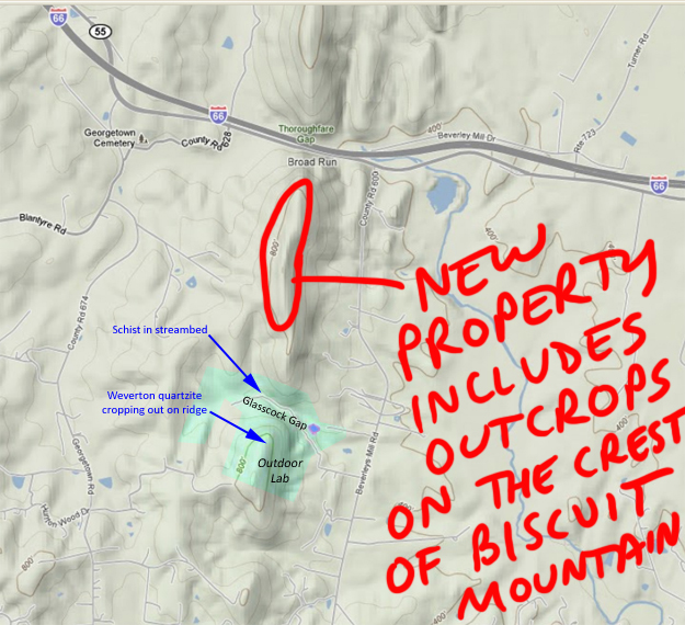
But that wasn’t the main attraction. Rather, we were mainly interested in heading to the top of Biscuit Mountain, to a new parcel of land that the Outdoor Lab has recently purchased. It includes stellar outcrops of Weverton Formation quartzite (meta-quarz-arenite) atop the ridge, just south of Thoroughfare Gap.
It’s a beautiful scene up there: tafoni-bedecked quartzite and spring blossoms. Plenty of black bear scat, too!
The exposures of rock were not only scenic, but also instructive. Here’s a lovely small-scale fault we saw, for instance:
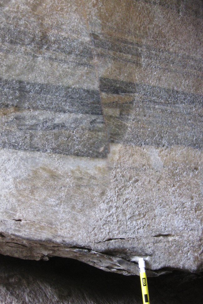
Previously, on the north side of Throughfare Gap, I was flummoxed by some enigmatic structures which looked like cross bedding that had been sheared with the upper side moving to the west (presumably during Alleghanian mountain building). One of the limitations of the outcrops on the north side is that there were only a handful of examples – it was hard for me to reach a conclusion I felt confident in, given such a limited set of data.
And that’s why I’m so glad the Outdoor Lab bought the new property on Biscuit Mountain. There are dozens of additional examples of this same phenomenon.
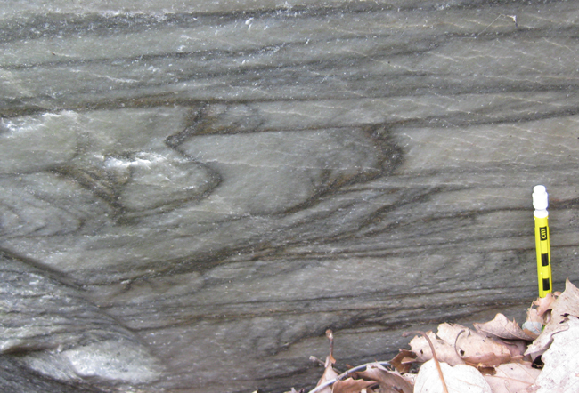
I’m convinced that these are scours, concave-up, some of them internally adorned with cross-bedding. These beds are right-side-up. I think there is some top-to-the-left shearing that’s taken place, too, which accounts for the consistent asymmetry (west side shallowly dipping to the east; east side steeply dipping to the west or else overturned and steeply dipping back to the east).
Here’s another site, a meter or two away:
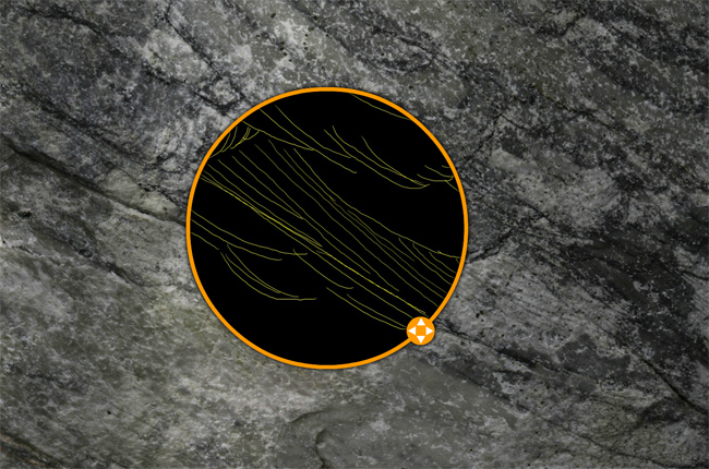
Because the exposure here wasn’t as crystal clear, I thought it warranted a comparative view, with my annotations visible in addition to the unannotated GigaPan.
Explore them all, and tell me if I’m missing anything!

