
It’s Friday… that means it’s time for a fold. Let’s try this outcrop at “Confusion Hill” in the Franklin Mountains of West Texas:
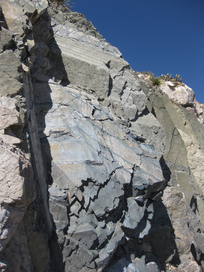
See it? Let’s zoom in…
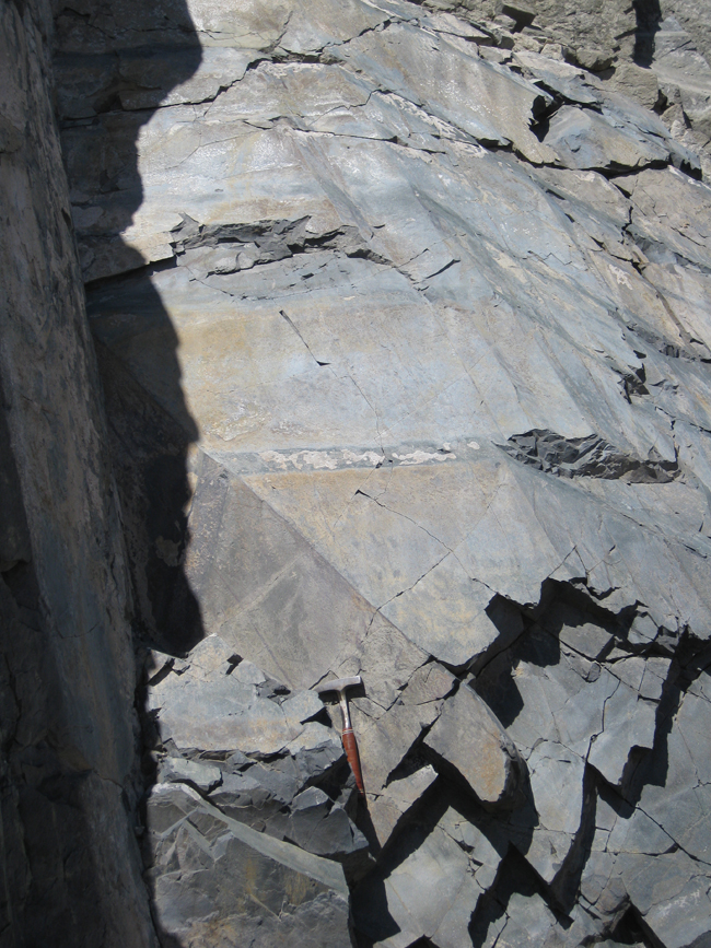
From the shadows to the left of the hammer, trace out the dark green layer… it may make you think of a box fold:
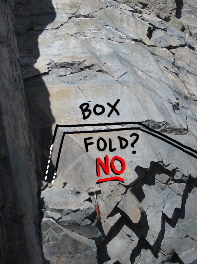
…but it’s not. This is actually a completely planar sedimentary bed, tilted to more or less vertical, and then cut by three differently-oriented outcrop planes:
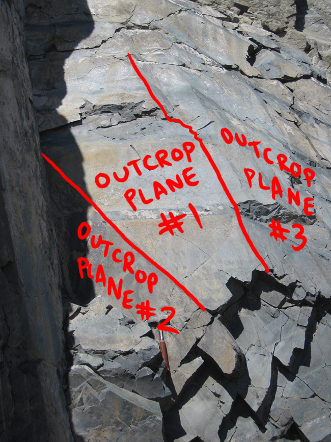
The intersection of each (differently-oriented) outcrop plane with the (uniform) plane of the dark green bed produces a line of “apparent dip” – these apparent dips, when viewed en masse, produce an impression of a folded layer – a totally false impression.
Beware faux folds!
(And Happy Friday!)
Reminds me of the classic faux fold in Titus Canyon, Death Valley.
http://mavdisk.mnsu.edu/larsop2/geog101/ConstructionalLandforms/FoldingLandforms/TitusSyncline.jpg
It used to be marked by a national park service sign referencing it as a fold, which they finally took down (hopefully because someone pointed out the error). It is pretty clearly just a perspective thing based on the two planes of erosion, as the rock wall makes a sharp turn right at the “fold”.