Pemaquid Point, Maine, is a locally-owned and -managed park near an old lighthouse.
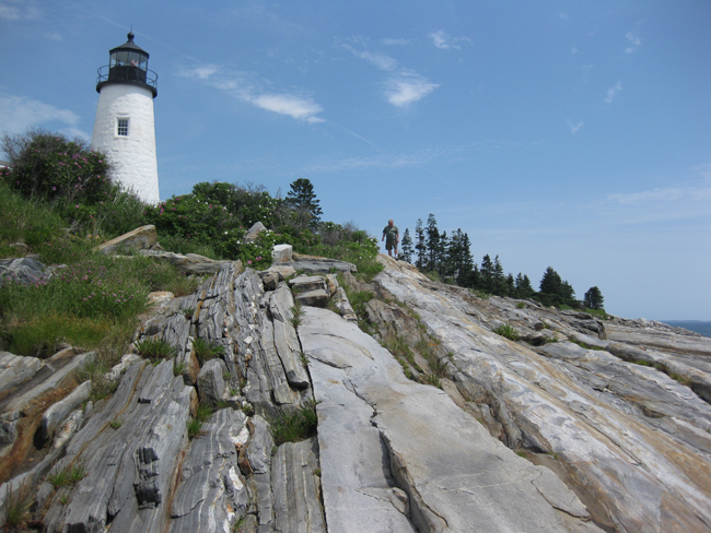
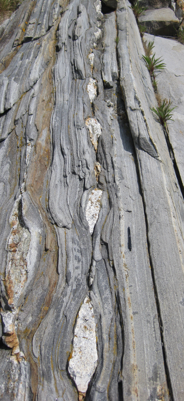
I went there yesterday with my family. We’re on vacation in coastal Maine for a week. At Pemaquid Point, the action of waves have cleaned the rocks, and they offer a delightful three-dimensional look at Acadian-aged metamorphics and granite pegmatite dikes, with a fair amount of structural geology superimposed on the whole lot.
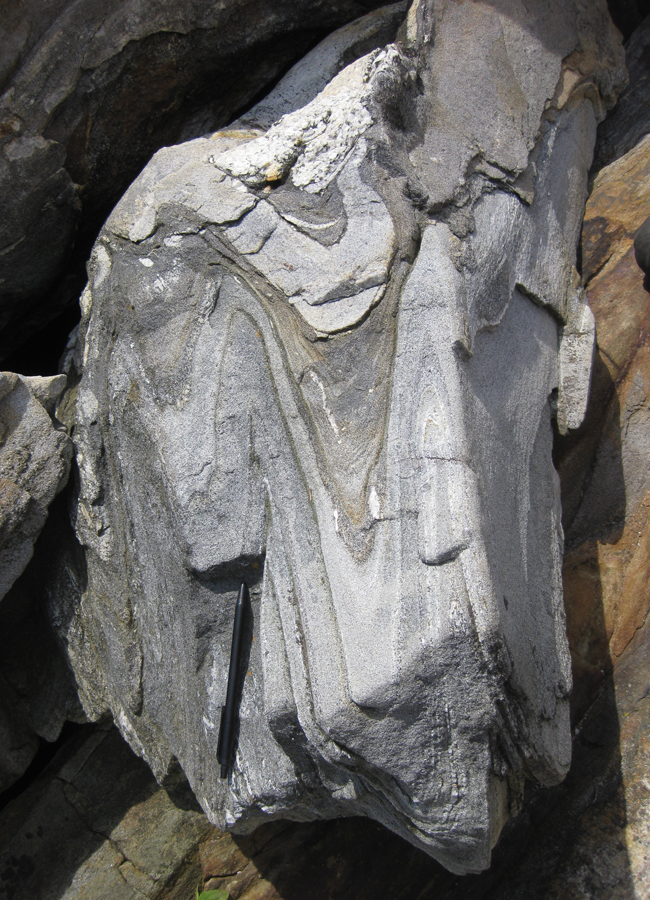
Learn more about the site from this “Site of the Month” (July 2002) from the Maine Geological Survey. According to it, the sedimentary protolith of these rocks was Silurian in age, with Devonian metamorphism and igneous intrusion on top of that. (The Maine Geological Survey has a great collection of site reports like this, searchable in map format, here.)
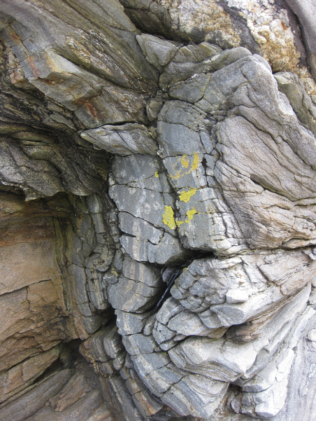
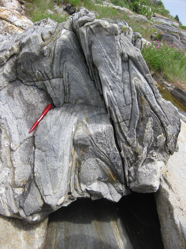
The folds range from open…
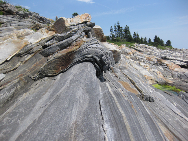
…to isoclinal:
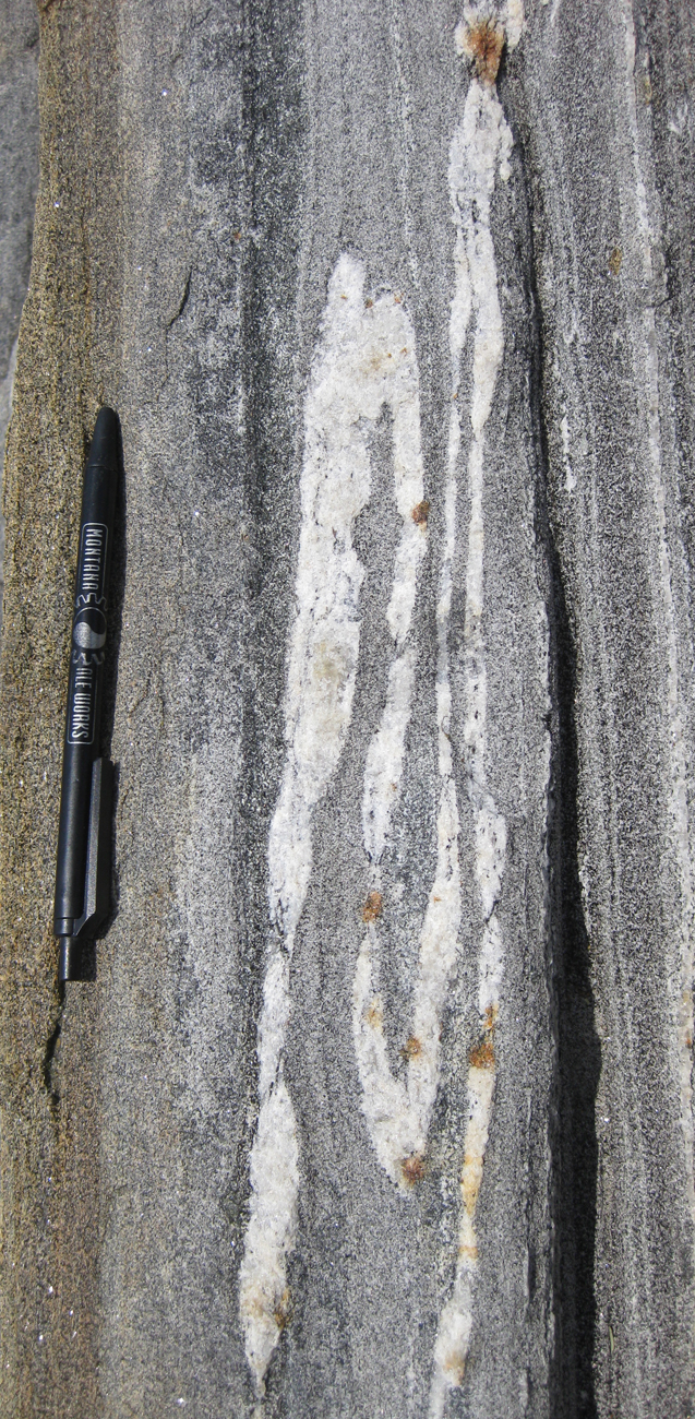
Here are a few more:
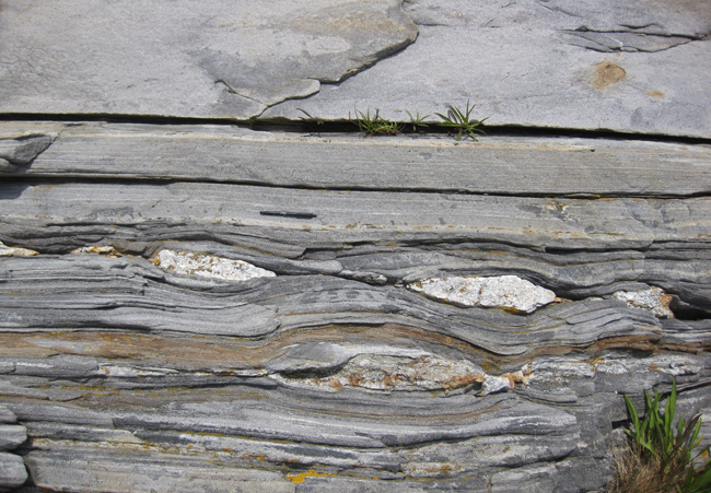
There is also a lovely suite of examples of boudinage, on many scales:
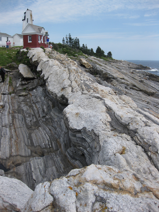
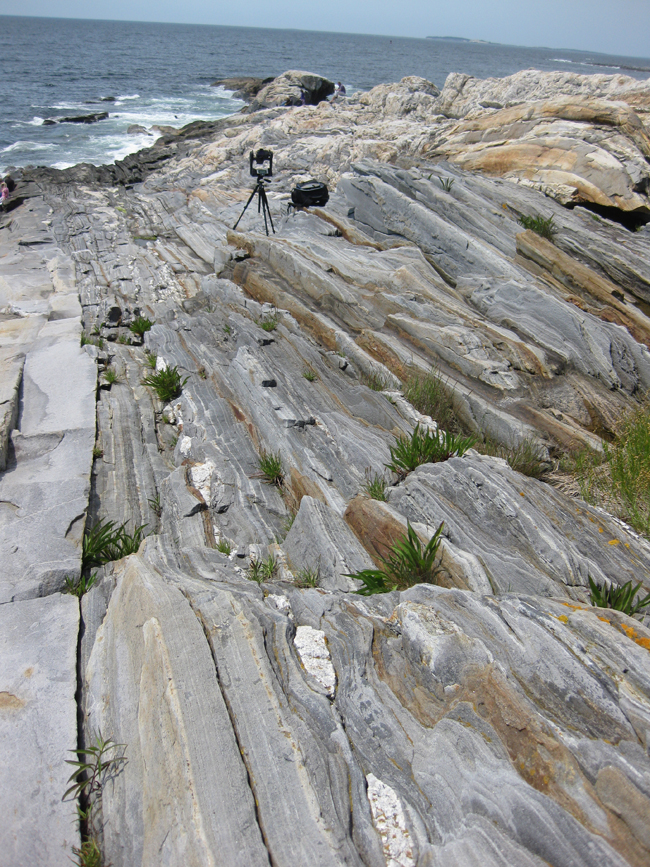
As you can see, I brought the GigaPan with me, and took a couple of new images with it:
And here are two that are not mine (These next two from GigaPanner “eos101” at Bowdoin College):

Hi Callan,
Thanks for sharing these photos. I had forgotten how incredibly beautiful this place is as well as the spectacular geology that one can see. Have a great vacation.
My family have lived in Boothbay for forty years and we visit Pemaquid in small groups every few years. Sometime “groupies” join us. It’s a place where I can give a rich account of what geologists know about the earth from outcrops, and how they know it. Everyone loves these field trips- a new dimension is opened as the story behind the scenery is told.
I will visit the online resources from the Maine Geological Survey.
Thanks for posting, Callan.