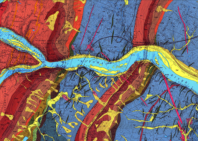
The geology east of Harpers Ferry, West Virginia, is cool. It’s Blue Ridge rocks, from basement to the cover sequence, tilted to the west and broken and repeated by the Short Hill Fault. Here’s a look at a detail of the Geology of the Harpers Ferry quadrangle by Southworth and Brezinski (1996).

So there’s a fault! Good – but the title of this post isn’t “Friday fault” – Where’s the fold?
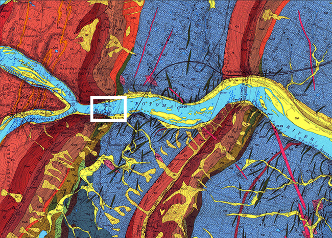
Let’s zoom in to this region:

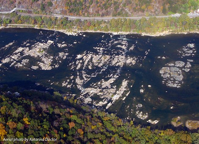
There, my friend Katarina Doctor supplied this aerial photo of a fold in Weverton quartzite that crops out in the middle of the Potomac River (when water levels are low, anyhow):

Differential weathering of the quartz-rich Weverton Formation here has etched out the Blue Ridge and Short Hill into a closely-spaced duo of ridges, separated by a valley underlain by less resistant rocks (basement granitoids, mainly). But the Potomac River was superposed on these structures prior to the recent differential weathering, and it cuts across them at almost a right angle, producing a distinctive double water gap, as seen in this LiDAR imagery of the region:
Link LiDAR data courtesy of Dan Doctor, USGS.
Happy Friday!
