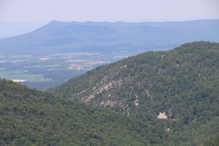
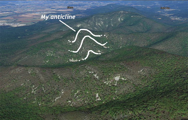
I spied an anticline last weekend while engaging in a day of solo geologizing along Skyline Drive in Shenandoah National Park. At Two Mile Run Overlook, I gazed west toward the southern tip of Massanutten Mountain, and noted what appeared to be an anticline in the Blue Ridge foothills:

Annotated:

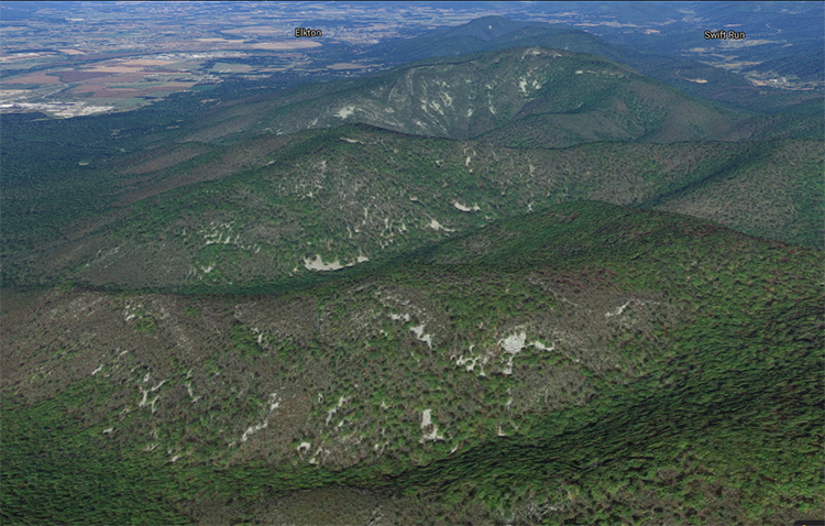
And here it is in Google Maps, with the perspective rotated to looking ~along strike to the north, and I hope you will note that (1) this anticline is not alone: there are at least four big folds here, 2 anticlines and 2 synclines, and also that (2) there are similar expressions of these folds in the ridges both north and south of the one I spotted.


There’s a ton of folds there! And based on their position in the landscape, I’m guessing this is all Antietam Formation, which should mean it’s chock full of bedding-perpendicular Skolithos trace fossils: poles to bedding for the structural geologists, I reckon. Someone should map this area in detail…

Callan,
P.B. King published USGS Professional Paper 230 with a geological map of the area in 1950. Nice folds and good mapping.