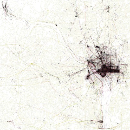
“The Geotaggers’ World Atlas #8: Washington, DC” by Eric Fischer
If you like maps, you should go check out these images by photographer Eric Fischer. (via here) The different colors represent different modes of transportation: Black is walking (less than 7mph), red is bicycling or equivalent speed (less than 19mph), blue is motor vehicles on normal roads (less than 43mph); green is freeways or rapid transit.
