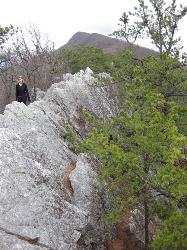
Back in 2011, when we were still living in D.C., Lily and I made a hiking trip out to Buzzard Rocks. It was a destination. Now that I live out here in the Fort Valley, I see Buzzard Rocks all the time, and I love it. It’s such a cool feature – a spot on the crest of the hill where you can see the slabby expression of steeply-dipping beds of Massanutten Sandstone.
Here’s the view from the road:
(Were you able to find the rock climber in that shot?)
From atop the crest of Buzzard Rocks, you can walk along this “mohawk of quartz arenite”…

Here’s a look at a sample of the Massanutten Sandstone:
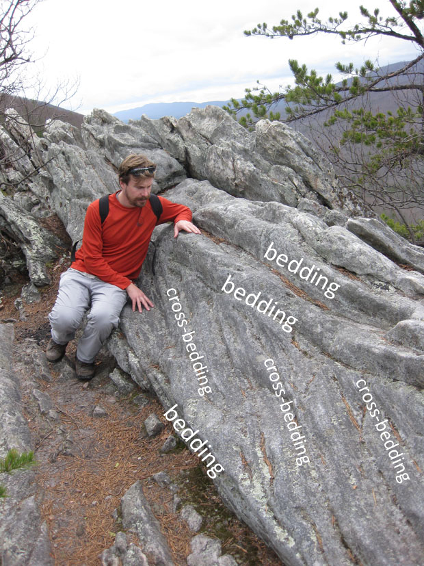
At Buzzard Rocks, it is internally cross-bedded, as seen here:

Buzzard Rocks needs three things in order to exist: (1) deposition of a lot of quartz sand during a time of passive margin sedimentation on the east coast [this was during the Silurian, between the dirty clastic influence of the Taconian and Acadian Orogenies], (2) deformation (tilting/folding) associated with the final phase of Appalachian mountain-building, and (3) differential erosion of the sedimentary strata. Those layers stratigraphically below the Massanutten Formation (graywacke, shale, limestone) have been etched away to make the Shenandoah / Page valleys, and those above it (limestone, shale) have been etched away to make the Fort Valley. In between, the hard, chemically-stable Massanutten stands proud of the adjacent recessive rocks, and makes the crest of the ridge.
Nowhere is this story more plainly stated than at Buzzard Rocks.
Yesterday, I hiked 1.5 miles up the Signal Knob trail to a higher vantage point, and shot this GigaPan from the trail:
You can see the Blue Ridge in the distance there, across the development of Front Royal (see if you can find the Randolph Macon Military Academy’s campus in the shot). You can also see the incised meanders of Passage Creek exposed in the lower foreground, and the slopes of talus leading toward them from Buzzard Rocks.
