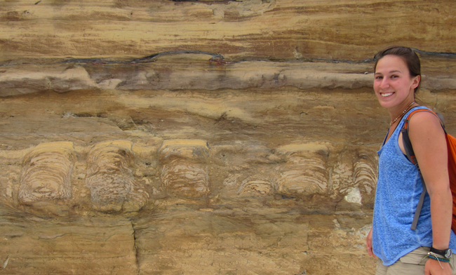
My favorite place to have lunch in Montana is at the Grinnell Glacier cirque in Glacier National Park. This is the dining room table:
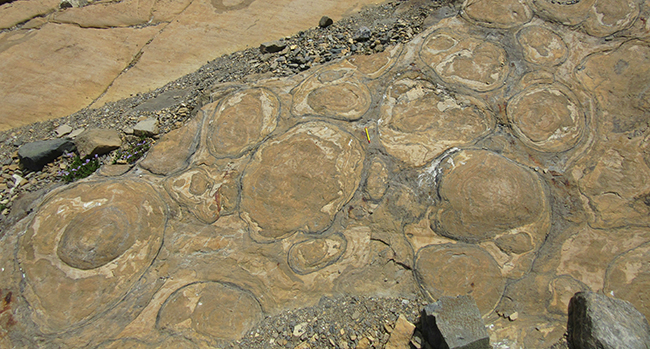
You’re looking at a bedding-plane-parallel exposure of Mesoproterozoic stromatolites here. Every few years, I’m lucky enough to hike up there with motivated students and share food atop this unparalleled view into the shallow seas of more than a billion years ago.
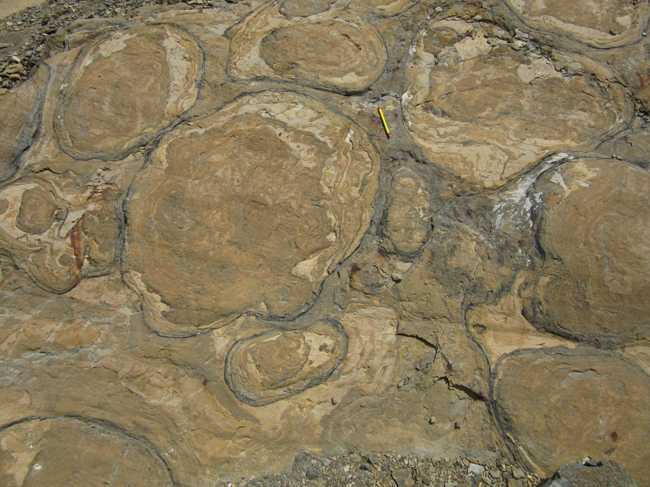
Stromatolites are sedimentary structures that preserve the bulbous forms of ancient microbial mats.
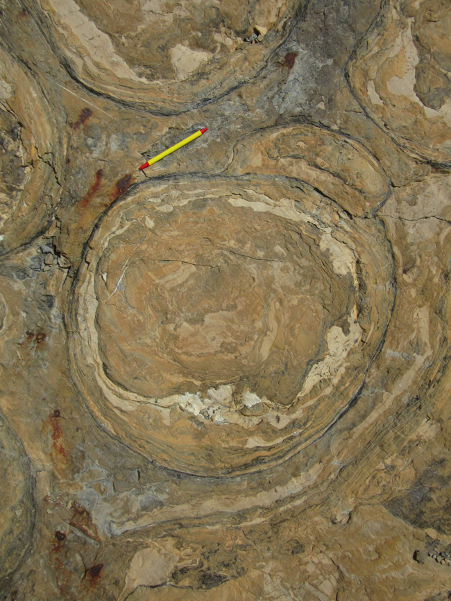
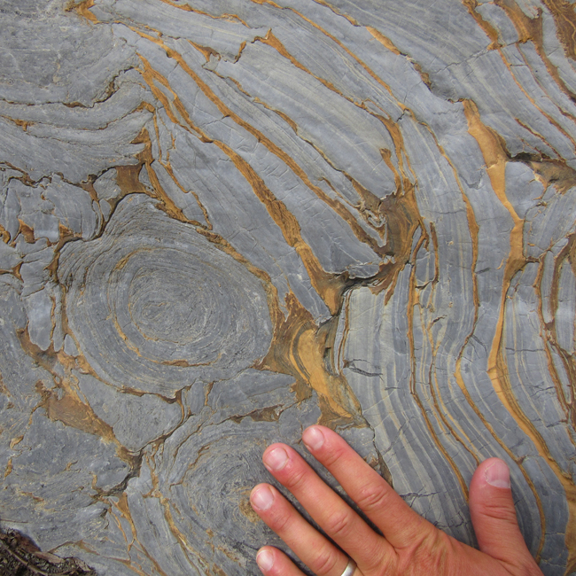
The biofilm was probably photosynthetic, as the stromatolites domed upward toward the sun. You’re seeing them sectioned here like a head of cabbage sliced laterally through its ‘equator’… hence the middle of each of these concentric circles represents the oldest part of each stromatolite, and the outermost layers represent the most recent laminations to be tacked on before burial.
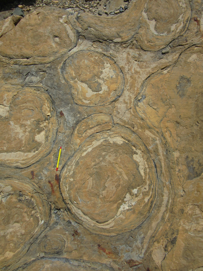
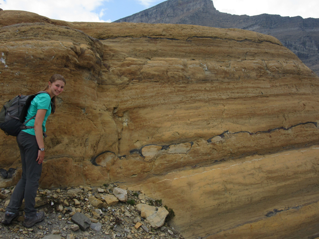
On the hike down from lunch, my students and I also saw some stromatolites sectioned vertically – so this is a different view, a side view, of the same dome-like structure:
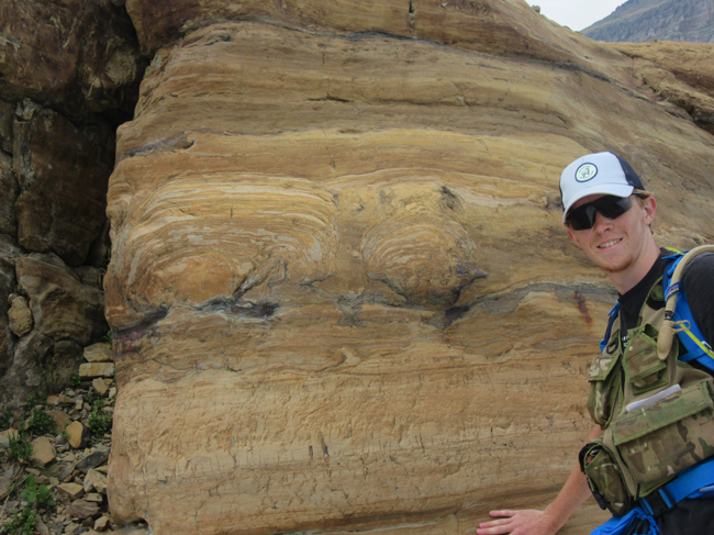
These structures formed at a time when stromatolites were apparently the most advanced life on Earth. This planet was “Slimeworld” in the Mesoproterozoic, to use Gabrielle Walker’s memorable phrase.
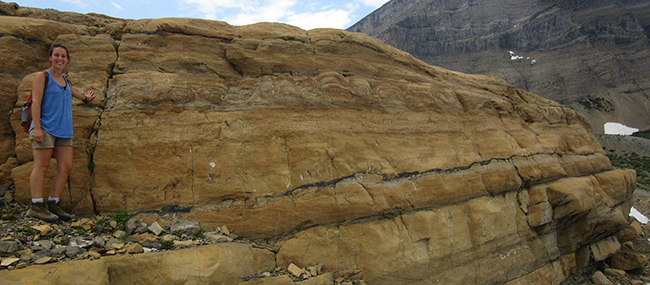
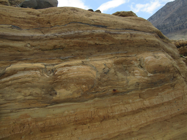
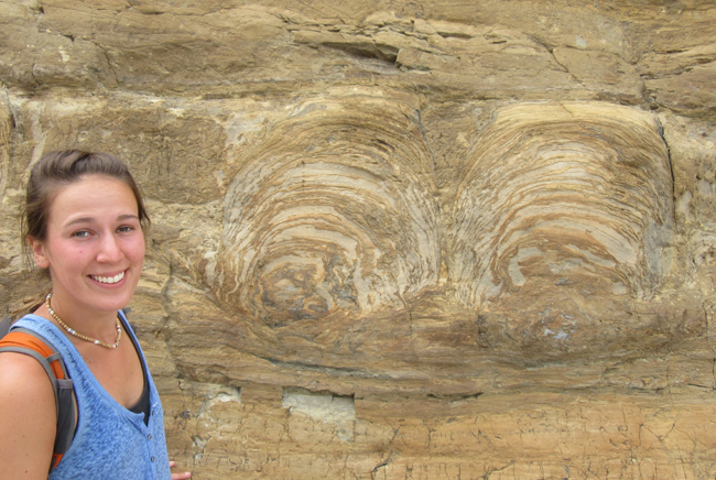
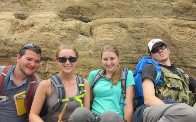
Here, I positioned the students so each had stromatolitic laminations draped over the tops of their heads:
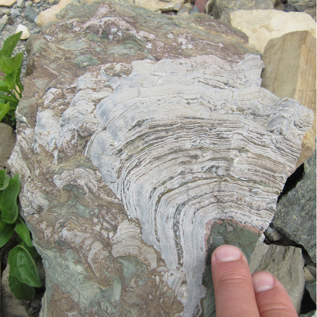
A stromatolite of a different color, seen in float below the cirque:
One more beast: a big erratic (note the glacial striations) full of stromatolites. Jake gives it a hug:
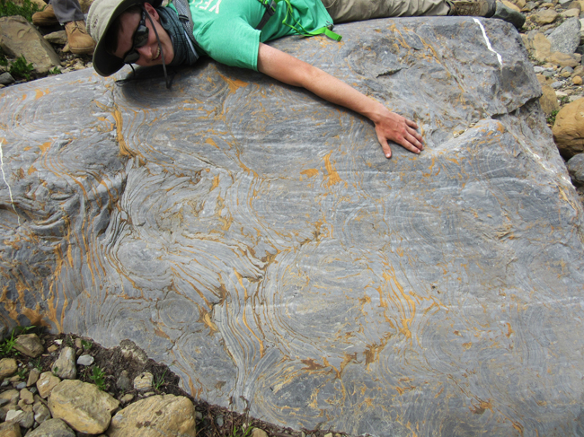
…And two close-ups of this boulder:
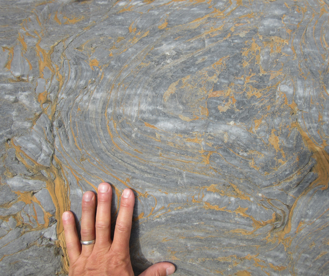
…Delicious repast for those who like nibbling on our planet’s Slimeworld past!
Glad you could join me for lunch.

Your comments inspired me. We are going in from New Orleans in June and again in July. We’ve heard of people going and not finding the spot on you tube video. We would be VERY disappointed if that happened. Could you provide us with some sort of map or location assistance. We don’t know how you could miss it, but on the chance it could happen to the uninitiated, we would be grateful for your guidance. Best, Bobby n Stephanie NewOrleans
I think it’s the bare slab right in the middle of this view: https://www.google.com/maps/@48.7571916,-113.7262991,69m/data=!3m1!1e3
It’s almost exactly halfway across that lip of Helena between the official “trail end” and the lake’s outlet waterfall. Stay on the highest ground as you walk across, and you should see it.
thank you, there are lots of pictures and articles of stromatolites in the park with no mention where they are exactly. With your guidance, I was able to somewhat locate the one in your article through the aid of a circular camera on Google Maps. The maps picsalate when you get to close. Can you suggest any source material that may help me locate them in several locations. Grinnell trail, the Loop, St. Mary’s falls, Apikuni falls, Logan Pass visitor center, and any others that a reasonably in good shape person could find with Oxygen provided?
Thanks for the post! I’m heading to Helena to visit my daughter and family in Oct. Not sure if Glacier will be closed by then but would certainly like to visit. I understand there are stromatolites in Helena too, i.e. Helena formation. Any details on that?
No clue about Helena area outcrops. Sorry!