Today, we’ll take a look at some immersive digital imagery I made on a hike up Table Mountain’s Platteklip Gorge while attending the International Geological Congress a few weeks ago.
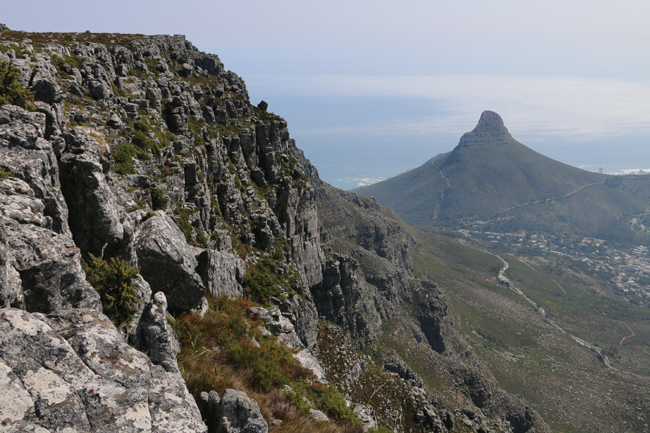
Here is the northern edge of Table Mountain, with Lion’s Head in the distance. 
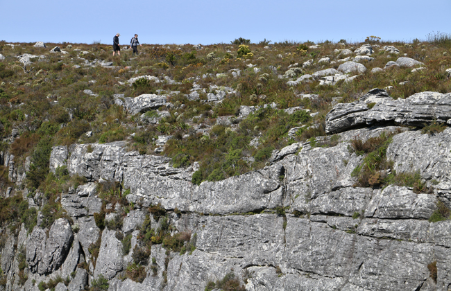
Some hikers provide a sense of scale for the large cross-bedding to be seen in the Peninsula Sandstone, the main unit that makes up Table Mountain’s bulk above the Graafwater Formation:
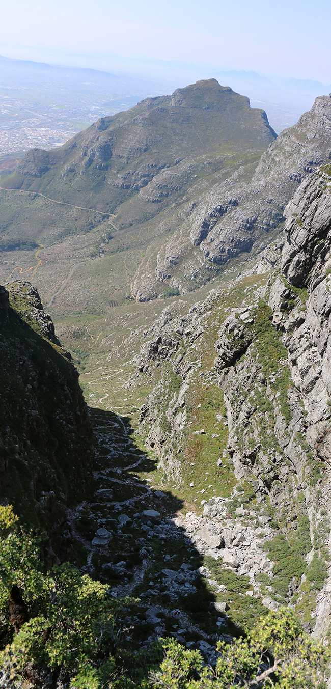
Platteklip Gorge is steep. Here is the viewing looking back down it from the top, with Devil’s Peak in the middle distance:
360° spherical photo of Platteklip Gorge
Platteklip Gorge on Table Mountain Link
GigaPan of Platteklip Gorge and Devil’s Peak:
Link GigaPan by Callan Bentley
A GigaPan looking south from southern Table Mountain, down the Cape Peninsula (My wife and I hiked all that!)… Can you spot a fold?
Link GigaPan by Callan Bentley
A GigaPan of a wall of the sandstone, as it crops out in upper Platteklip Gorge… Can you spot some cross-beds?
Link GigaPan by Callan Bentley
