Another batch of out-the-airplane window photos from March, on my flight from Reno, NV, to Minneapolis, MN.
I looked out the window and saw a form that seemed familiar….
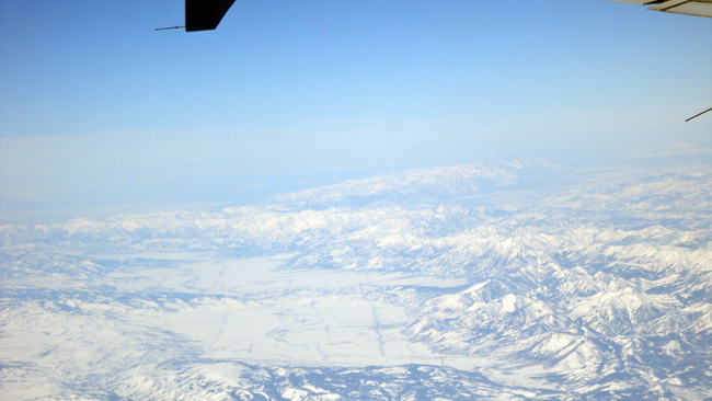
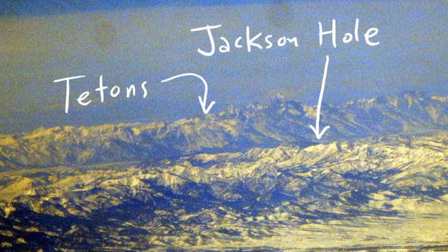
A slightly higher-contrast exposure: I was focused on that asymmetric mountain range in the distance.
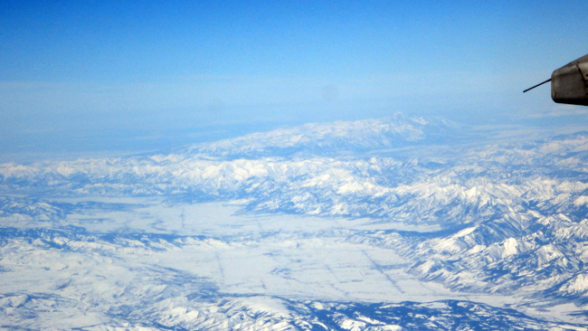
Is that the Tetons? And Jackson Hole to their east? I think it is!
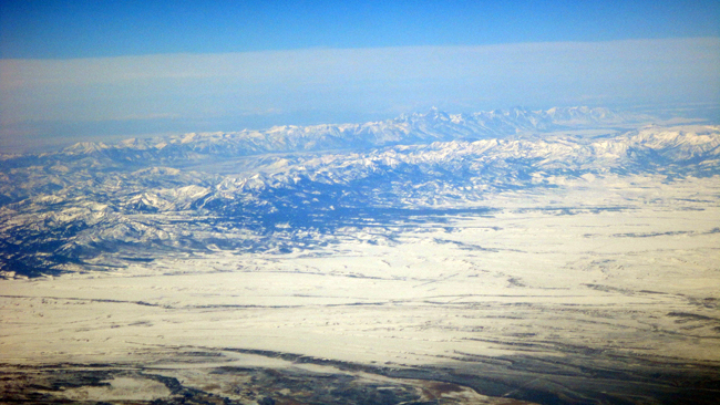
Zooming completely in with the pixelated “digital zoom” on the camera…
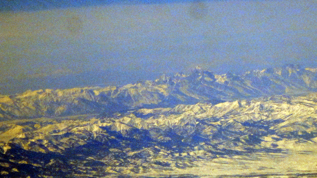
Sure enough. That’s the Grand in the middle, and one of those valleys just north of it is Cascade Canyon, where I hiked last summer, and north of that is Hanging Canyon, where I’ve hiked the previous couple of summers.
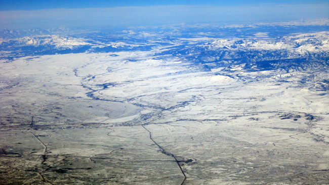
Which means the snow-covered valley in the foreground in the place where Pinedale, WY, is located, and the lovely glacial-moraine dammed lakes like Fremont Lake (the type locality for the Pinedale Glaciation, the most recent major Rocky Mountain glacial episode). You can see the lateral moraines pointing southwest (to the lower left) out of the Wind River Range to the right (east):
The Wind Rivers’ amazing glaciated peaks:
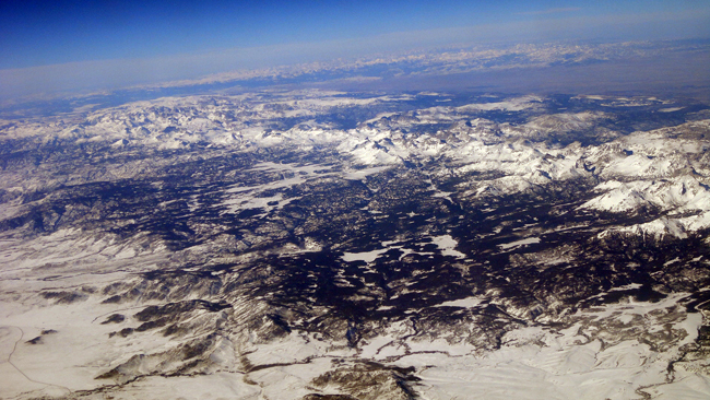
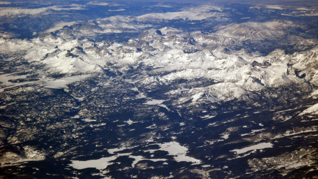
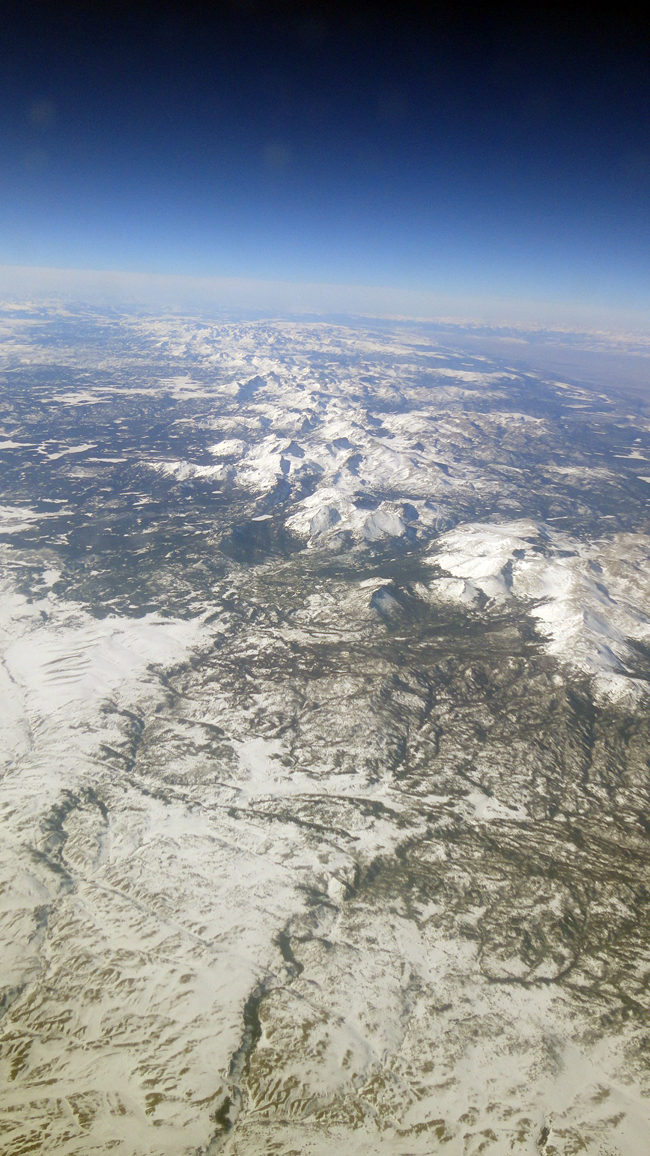
E P I C .
Position established, I was now oriented and able to recognize the other Wyoming landmarks that showed up in the next ten minutes…

cool! thanks for sharing. you travel like I do (and hopefully all of us geologists) – head pressed against the window. I always have my headphones on, so the flight attendant has to tap me on the shoulder to ask me for my order.
Epic indeed! I’ve had the pleasure of passing over the Grand Canyon, but otherwise it always seems to be dark or cloudy when I we get to the good stuff. I think I’m going to start booking tickets based on flight path from now on. Thanks for sharing!