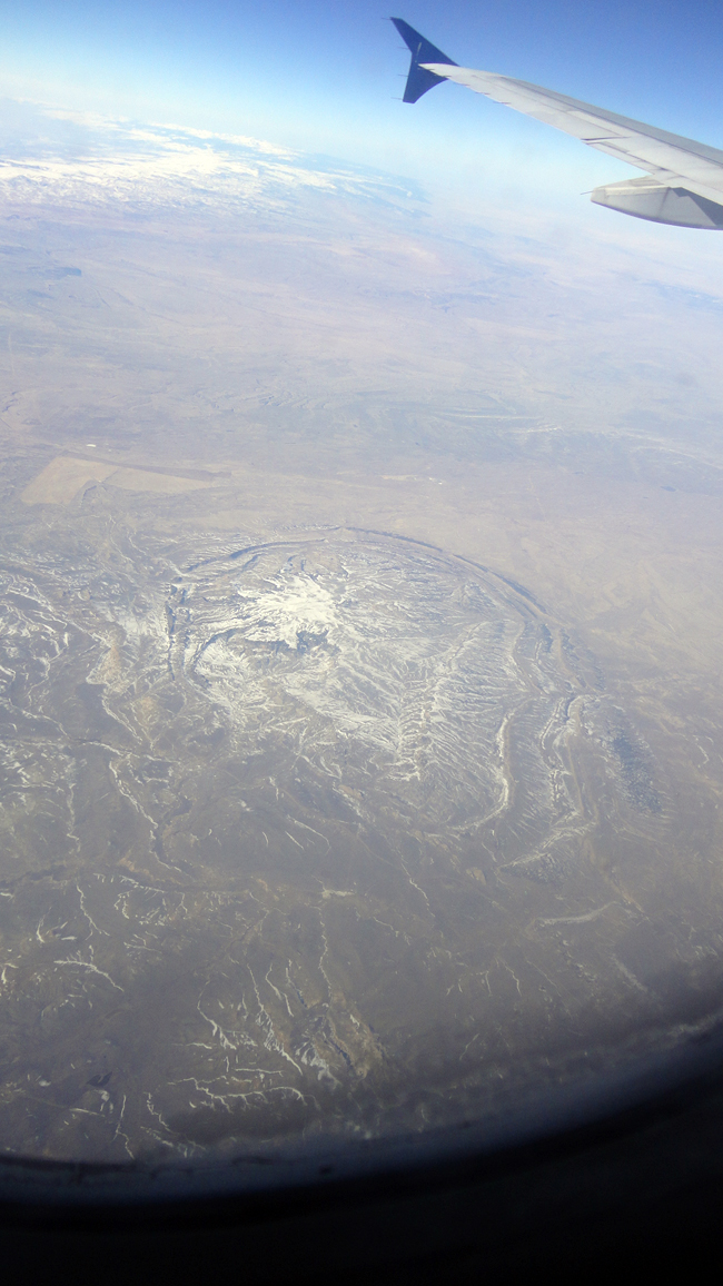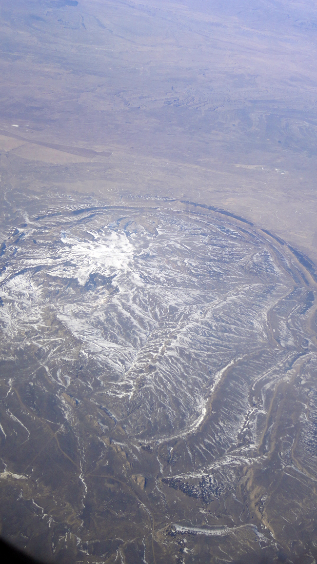
Saw that out my window in March, somewhere over what is probably Wyoming. This was on my way from Reno to Minneapolis.

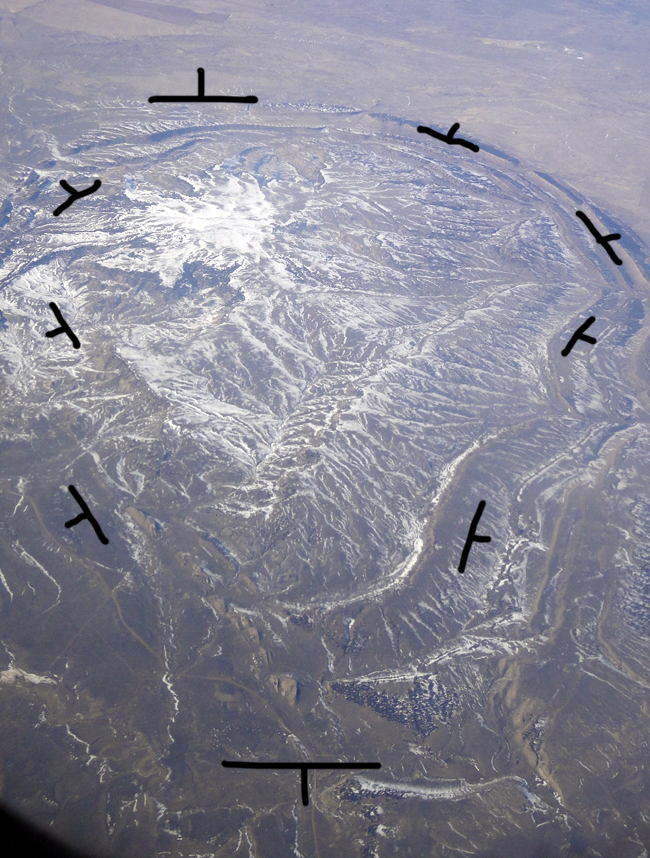
The structure in question is a “blister” in the strata, doming them upwards. If we were to add some strike and dip symbols to this scene, they would wrap around with the dip “tick”s all pointing outwards, like the spines on a sea urchin…

Happy Friday!

I think that is the Pine dome (Pine Mtn) southeast of the small town of Powder RIver in Wyoming. Pine dome, Cottonwood Creek anticline to the north, and Oil anticline to the south form a trend of folds which connect the Laramie Mtns northwest to the Bighorn Mtns. Pine Mtn in the mid-section of the feature is on sediments that are nearly flat. The dips on the west side can get up to near vertical and I’ve read they are overturned in one local with a small reverse fault of a couple of thousand feet.
Excellent! Thanks for the I.D.
Here’s a link to the location in Flash Earth, if anyone wants to check it out in a more dynamic fashion.