A little over a year ago, Lily and I hiked the Hoerikwaggo Trail, an overnight trek from Cape Point to Cape Town, South Africa.
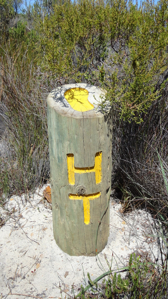
In case you’re wondering, it’s pronounced “Hore-wreckh-uh-vahkh-oh.” It’s a Khoi-san word for Table Mountain.
Here’s a map of the route we took, modified from Google Earth “terrain” view. North is at the top of the map; south is at the bottom.
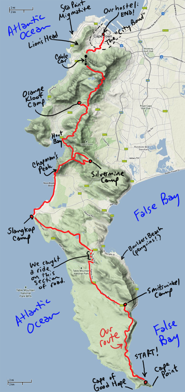
You’ll notice I added in the locations of a few other places for reference: the Sea Point Migmatite, the penguins at Boulders Beach, and Lion’s Head.
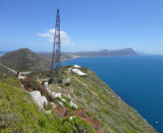
Anyhow, let’s go for a hike. Here’s a view of the Cape of Good Hope from the hike up to the observation tower at Cape Point:
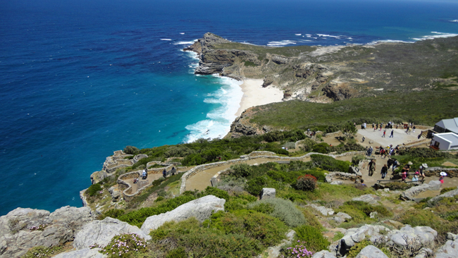
Cape Point itself, in all its skinniness. Also note the far side of False Bay in the distance. That’s Cape Hangkilp. (Rooi Els is over there).
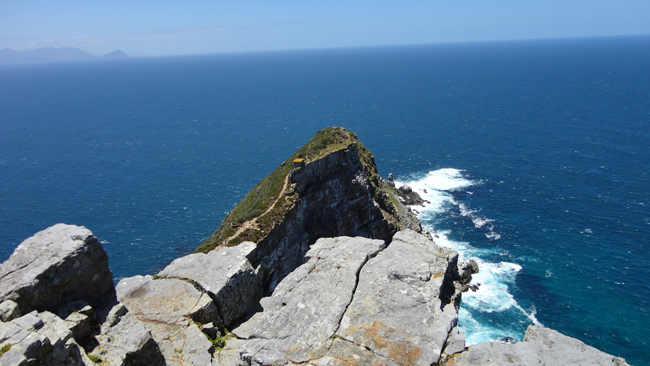
Same spot, but looking north along the Cape Peninsula, in the direction we would be walking over the next five days:
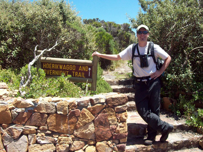
Here’s the start of the trail:
A few minutes later, I turned around and shot this portrait of my wife with the Cape Point observation tower in the background:
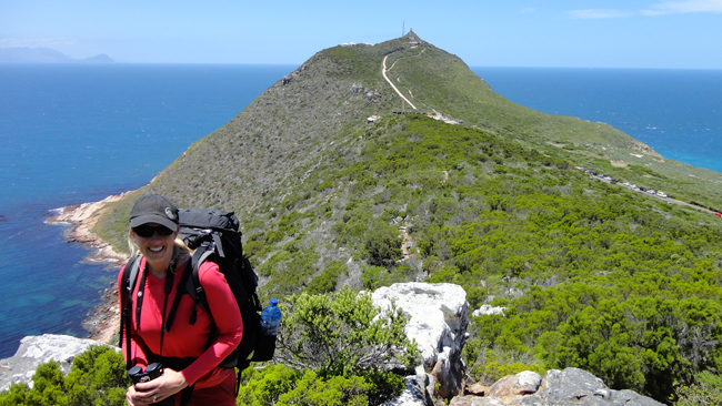
There was a stunning variety of landscape that we crossed on the Hoerikiwaggo Trail. Seaside cliffs, for example…
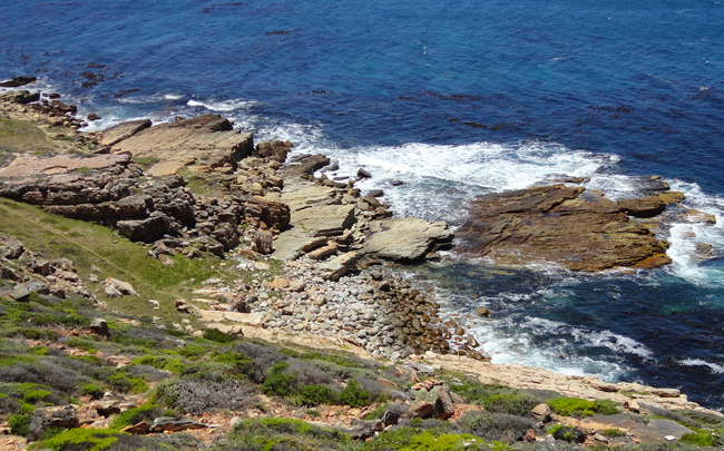
(Note the rounded boulders in the cove there?)
…And also scrubby plateau-like landscapes:
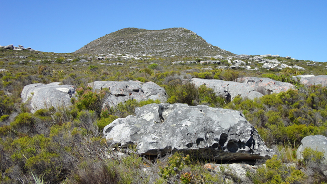
…some of which dropped off suddenly into steep oceanside cliffs:
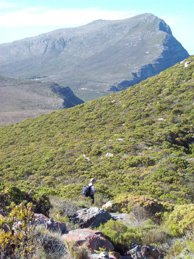
There were even sections of the trail that crossed miles-long stretches of beach:
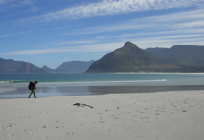
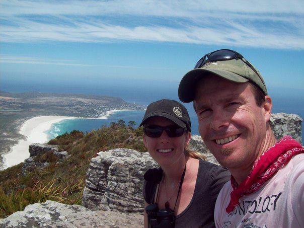
After crossing that particular beach (Nordhoek Beach), we had a stunningly steep climb up to the summit of Chapman’s Peak. That was rough, but we really felt like we had accomplished something when we got to the top and had some lunch:
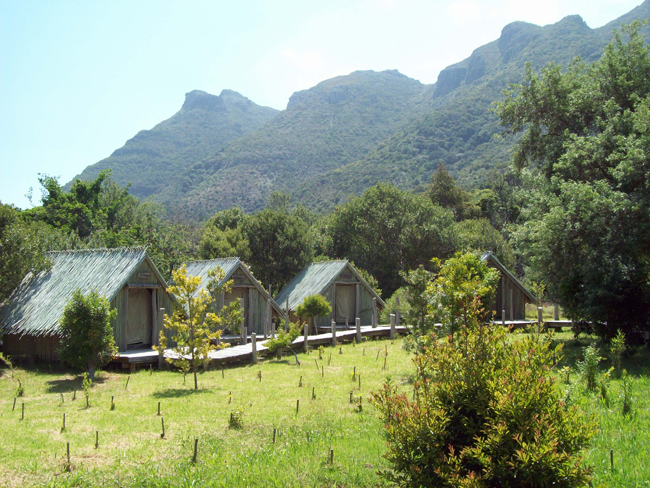
We stayed in tented camps along the trail. They were pretty comfortable, and some were Grade A, and felt very luxurious. Here’s Orange Kloof camp, where we stayed our last night:
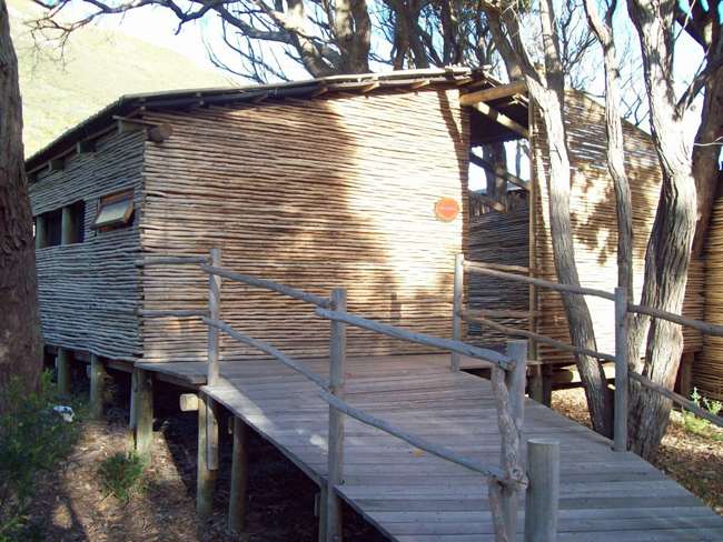
And here is Smitswinkel Camp, the best of the bunch, where we stayed our first night:
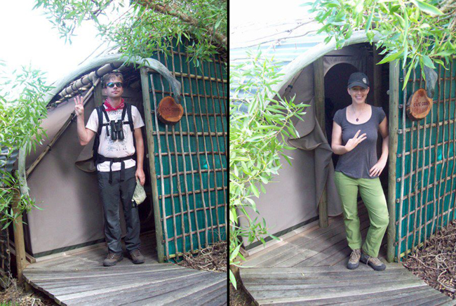
A double portrait at Slangkop Camp, as we began Day 3 of our hike (this was Christmas Day, and I was very tired from the long, long stretch we hiked on Day 2):
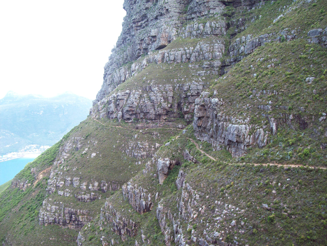
A few more scenes from the trail:
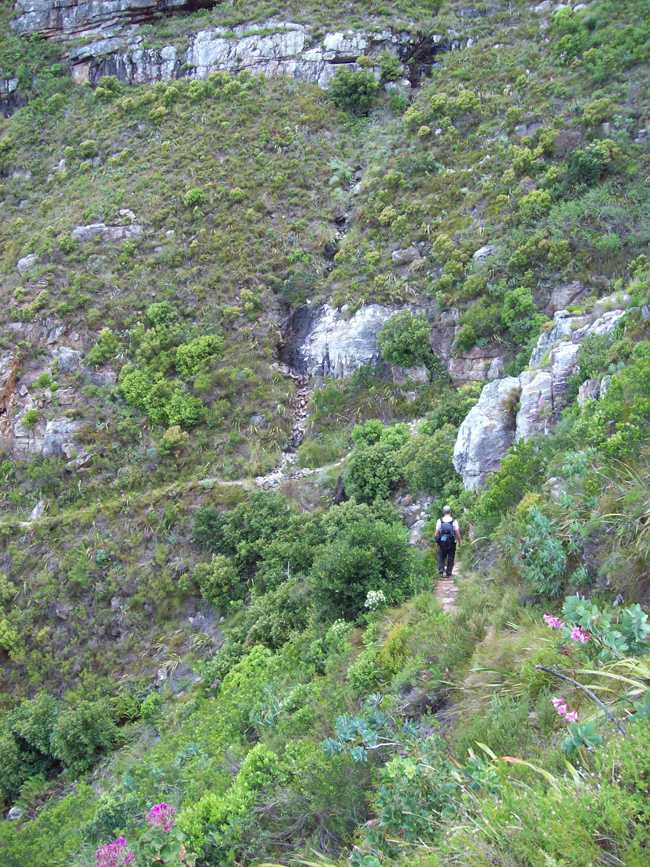
I’ll be spending the rest of the week talking about the geology along the trail, but here are a few shots that didn’t fit in elsewhere…
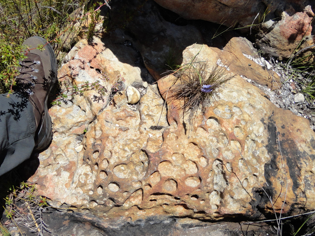
Some tafoni weathering of the Table Mountain Sandstone….
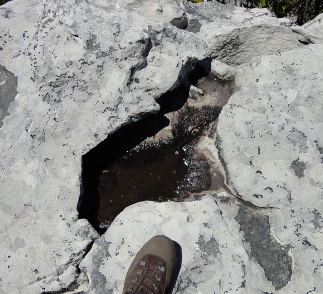
An opferkessel atop an outcrop, hosting a puddle of water it had retained from the most recent rainfall:
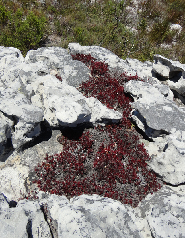
A similar series of interconnected holes which had trapped sufficient sediment to serve as a home base for some of the fynbos vegetation:
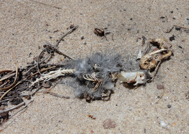
The carcass of a small animal – but I have no idea what it is.
Check out his skull. Sharp teeth (carnivorous?) and a big “mohawk” of bone that sticks out back as a flange (would that count as a saggital crest?).
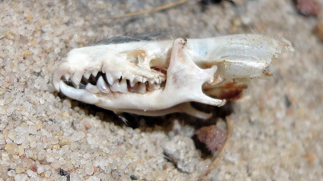
I could really use some help identifying this critter – I’ve searched through the various mongooses and rodents and voles and golden moles and other small mammals of South Africa, both in my field guide and doing Google Image searches on phrases like “hyrax skull” and “aardvark skull,” for every conceivable creature from the field guide, but I couldn’t figure it out.
Here’s how we left Table Mountain, on the last day: the cable car:
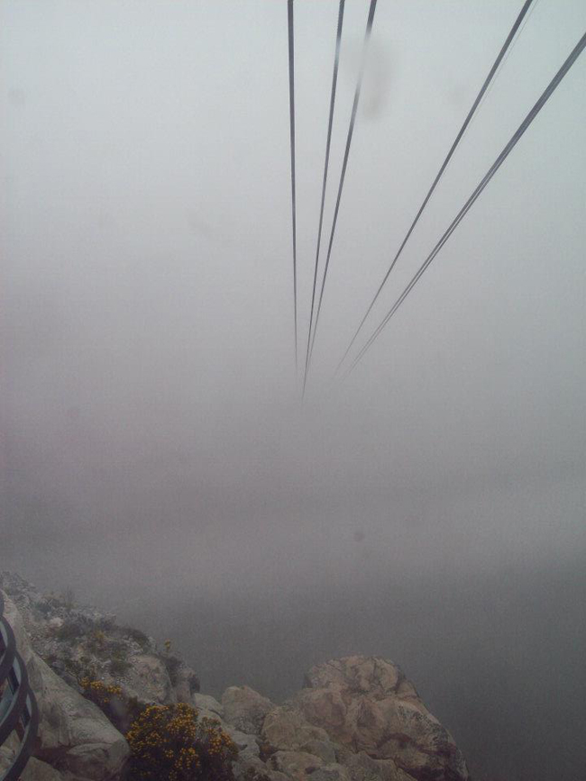
(It was pretty foggy that day due to the “Tablecloth,” the veil of clouds that wafts over the mountain.)
We got a pretty good view of the Tablecloth fluttering in action a few hours later from the perspective of the Harbor area, where there was a single place that served real ale. Naturally, after hiking for 5 days, I deserved a glass or two of real beer…
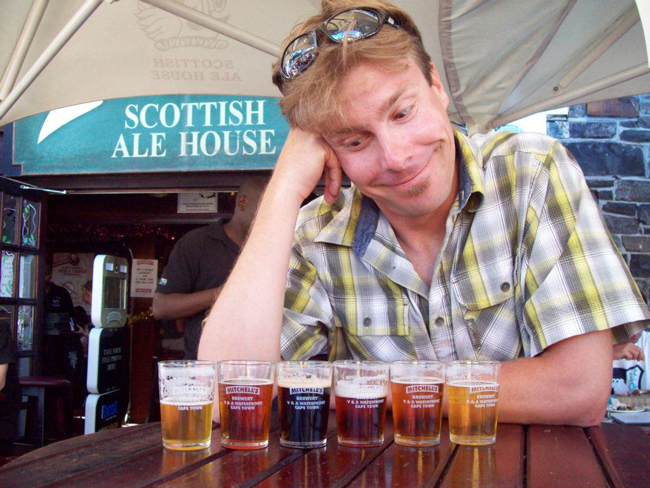
… or six.
Here’s my plan for the rest of “Hoerikwaggo Week” at Mountain Beltway:
Tomorrow: the Table Mountain Sandstone
Wednesday: Jointing, veins, and Liesegang banding
Thursday: a botanical interlude with some pretty photos of fynbos vegetation
Friday: the folds and other deformation!

You didn’t bring me any of that sand to shoot? For shame, Callan.
Great pics–did you screenshot your map from Google Earth or Google Maps? I’ve been looking for a terrain view overlay for Google Earth, because the one I used to use disappeared.
Google Maps – I wish GE had similar functionality…
If you go to this site: http://www.mgmaps.com/kml/ and download the kml, it’ll bring up a bunch of GE overlays. Clicking on “Cycle map” under the OpenStreetMap heading will bring up an overlay that will show contours lines at a close scale. You can combine this with the “Windows Live Terrain” overlay under the Windows Live Maps heading to get a close facsimile to the Google Maps terrain view, although it doesn’t give as good detail as GM does (you’ll need to play with the transparency to get it to look right).
There are also a lot of overlays to play with at http://ge-map-overlays.appspot.com/ .
Hi Well done on a fantastic photo blog of your Hoerikwaggo trail. We are a hiking tour operator in Cape Town and came across your blog. Do you mind if we post this onto our facebook page http://www.facebook.com/awoltours and if we send the map to other hikers to show them the trail. Look forward to hearing from you. PS Our office is actually just round the corner from Mitchells where you had celebratory beer. Hope to hear from you Sally
Go for it!
hi Callan, we plan to walk the Hoerikwaggo route this December, you maybe dont have the Garmin gps track log fot this trail ( in gdb or gpx format )
Thanks
Nope; sorry.
The skeleton (with skull) you found compares favorably with the Asian House Shrew (Suncus murinus). They aren’t native to South Africa, but have been introduced in Africa. They are one of the largest shrews, and can be up to 15 cm in length. Asian shrews have powerful jaws for their size, and that “mohawk” is indeed the sagittal crest where the muscles that close the jaws have their origin.
Perfect – I think that’s it. Thank you.
Hi,
Wonderful photos ! Thanks for taking the time to post this hike !
My husband and I will be in South Africa in next January (2015). We are good hiker (map, compass, etc.) and we would like to complete the Hoerikwaggo trail without a guide. Do you recommend it? Have you use a map that is detailed? I’ve read that the trail is difficult to “spot”. Do you have any recommandation? How have you arrange the lift on Red hill road and to the beginning of the trail? Have you put your car in a secure parking in Cape Town as mentionned on the SAN parks?
Sorry for my many questions… !
Have a great day !
Marie-Eve
Canada
Hi Marie-Eve, i was the team leader and navigator over a group of 10 hikers
that did the Hoerikwaggi in December 2013.
To make a long story short, this is a very tough, but very beautiful 5 day
hike.
You cannot do this hike without either a guide, or very good maps, or a GPS
track of the route, or you will get lost.
Many other tracks cris-cross the Hoerikwaggo track, and you can easily take
the wrong one.
I also have the detailed map set ( 3 Maps ) of the whole route, but we never
uses them, i only used the GPS one.
I have for you the GPS track of the whole 5 day route exactly as it is
suppose to be.
It is very accurate, and it is the only one that i know of in South Africa.
If you have maybe a Garmin Outdoor Handheld GPS that can manage maps, i will
be glad to e-mail you the track.
I have use a Garmin GPSMap 62s model.
Let me now
Greetings
Marius Oosthuizen
South Africa
Dear Marius, may I kindly ask you to send me an e-mail (fbroeker@gmx.de) with the track for my Garmin as well? We are going hike the trail this November. Do you also have a recommendation for a guide?
Regards, Frank
Dear Marius, thanks for your wonderful story and the beautiful pictures. We’ll do the Hoerikwaggi Trail in february 2015 and I’d be very thankful to you if you could send us your GPS track of the route. Best regards Markus, Janine, Olivia and Valentina Santer
Middag Marius, ek sal dit vreeslik waardeer indien jy ook vir my die GPS track kan epos. My epos adres is maurits.hagg@gmail.com.
Ek is baie geinteresseerd in die roete. Ek sien die roete wat Callan gestap het gaan nie van Smithwinkel na Simonstad oor die Swartkoprif nie. Hoop dis wel die geval met jou roete. Groete, Maurits
I would appreciate it very much if you can send me the GPS Track of the Hoerikwaggo trail. We booked to hike the trail at the end of March 2015. We plan to do the trail without a guide. Our family are experienced hikers but we did not hike in the Cape point area before. Regards Michael Ferreira
Please forward me your e-mail address so than I can send you the original Hoerikwaggo gps track.
markus.santer@gmx.ch
Hi Marius !
I never saw that you replied to me!
I want to thank you so much !!! That is so useful info. We received the Slingsby Maps for the trail and we bought an outdoor GPS for the trip. Which maps from Garmin do you suggest? I think there is no “trail maps” for South Africa? Am I right (hope wrong!) ?!
If you still can send me the GPS points, I would really appreciate it. Here’s my email.
marie.eve.boucher.1@gmail.com
Also, I do have a question… did you feel safe on the trail or at night at the huts?
Best regards!
Marie-Eve
🙂
Dear Callan and Marius,
Thank you for the very useful and helpful information! We will be doing the trail this December.
>Marius, can you please share the GPS tracks with me as well? I have been informed by the National Park that a portion of the Hoerikwaggo Trail on private land between Slangkop and Silvermine Tented Camps has been closed as the land owner has advised that hikers may not traverse his property. Thus they suggest 2 alternative routes. Do your tracks reflect on this by chance?
Thank you very much in advance! yukokanto@hotmail.co.jp
yk@Pretoria
It’s possible that the skull you photographed was that of a dassie. It’s closest relative? The elephant.
Way too small – those are grains of sand next to it. This thing is tiny – 1 or 1.5 cm long.
Hello Marius,
We also would like to do the trail without a guide. I have a gps so would really love to get the track in gpx or other format. Could you please send it to robertstadADgmail.com
Wasn’t finished yet 🙂
Thanks,
Robert